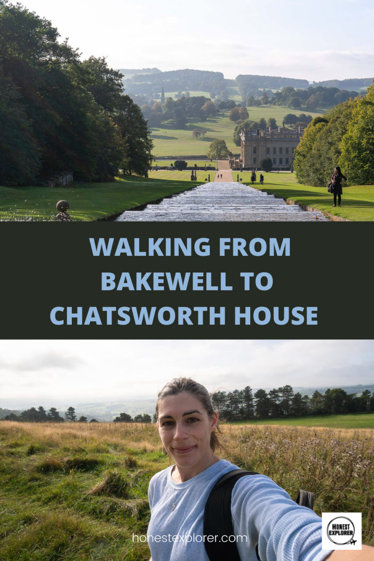
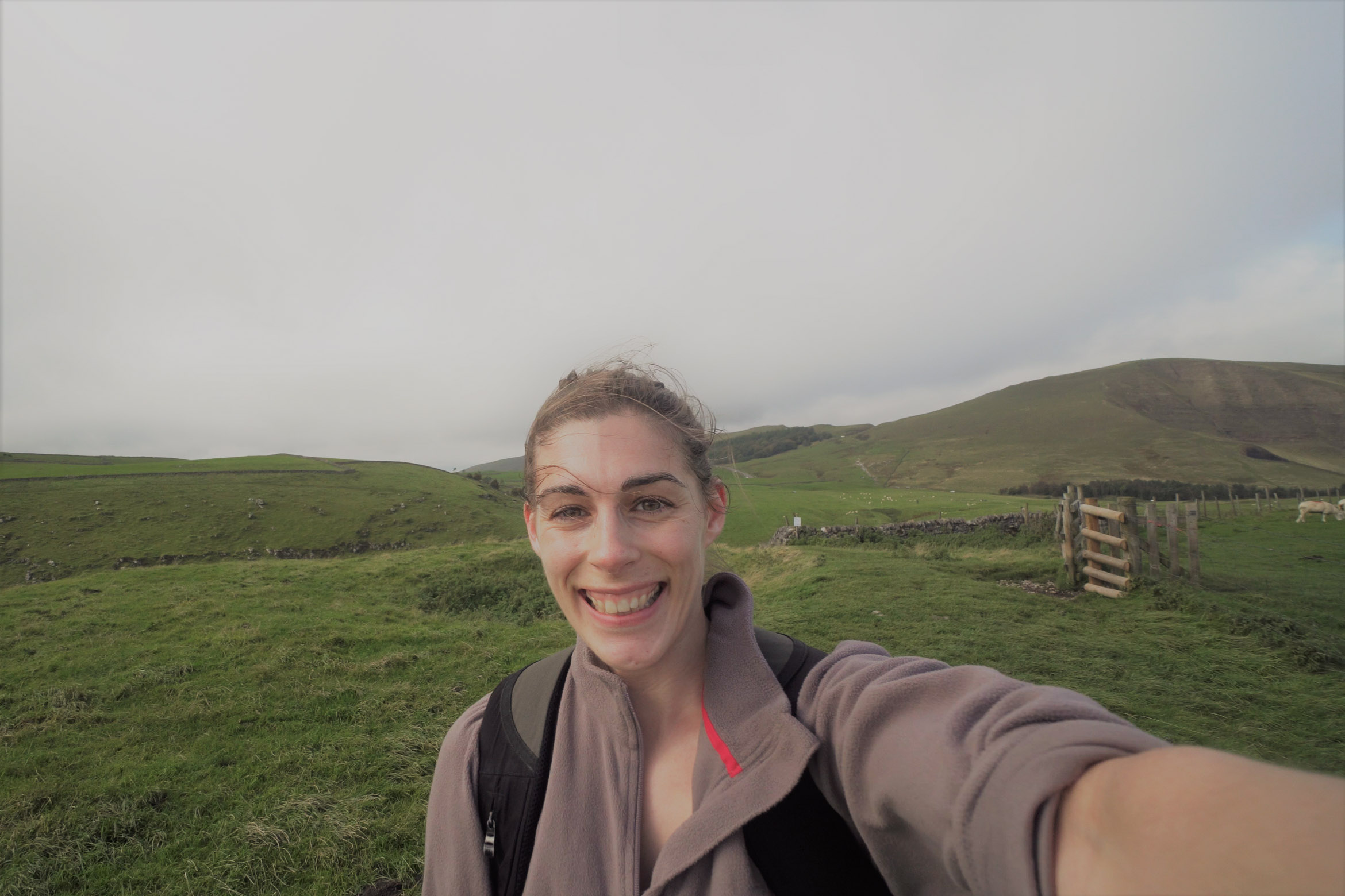
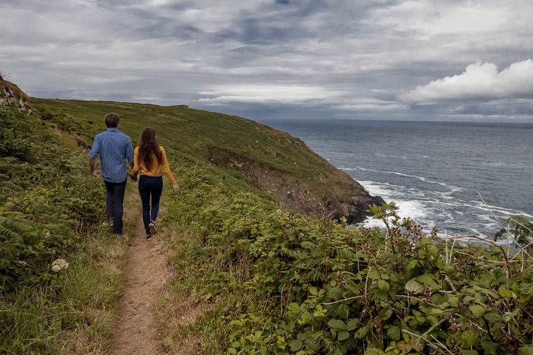
If you are looking for a varied walk in the Surrey area, then the Mole Gap trail is a pretty and fairly easy one. It will take around 3 hours (but allow longer for taking pictures, stopping for lunch etc), and follows the river Mole all the way to Dorking.
Once at Dorking you could also try the two short heritage walks around the town.
Walk start point: Leatherhead train station
Walk end point: Dorking stations
Length: 6 miles
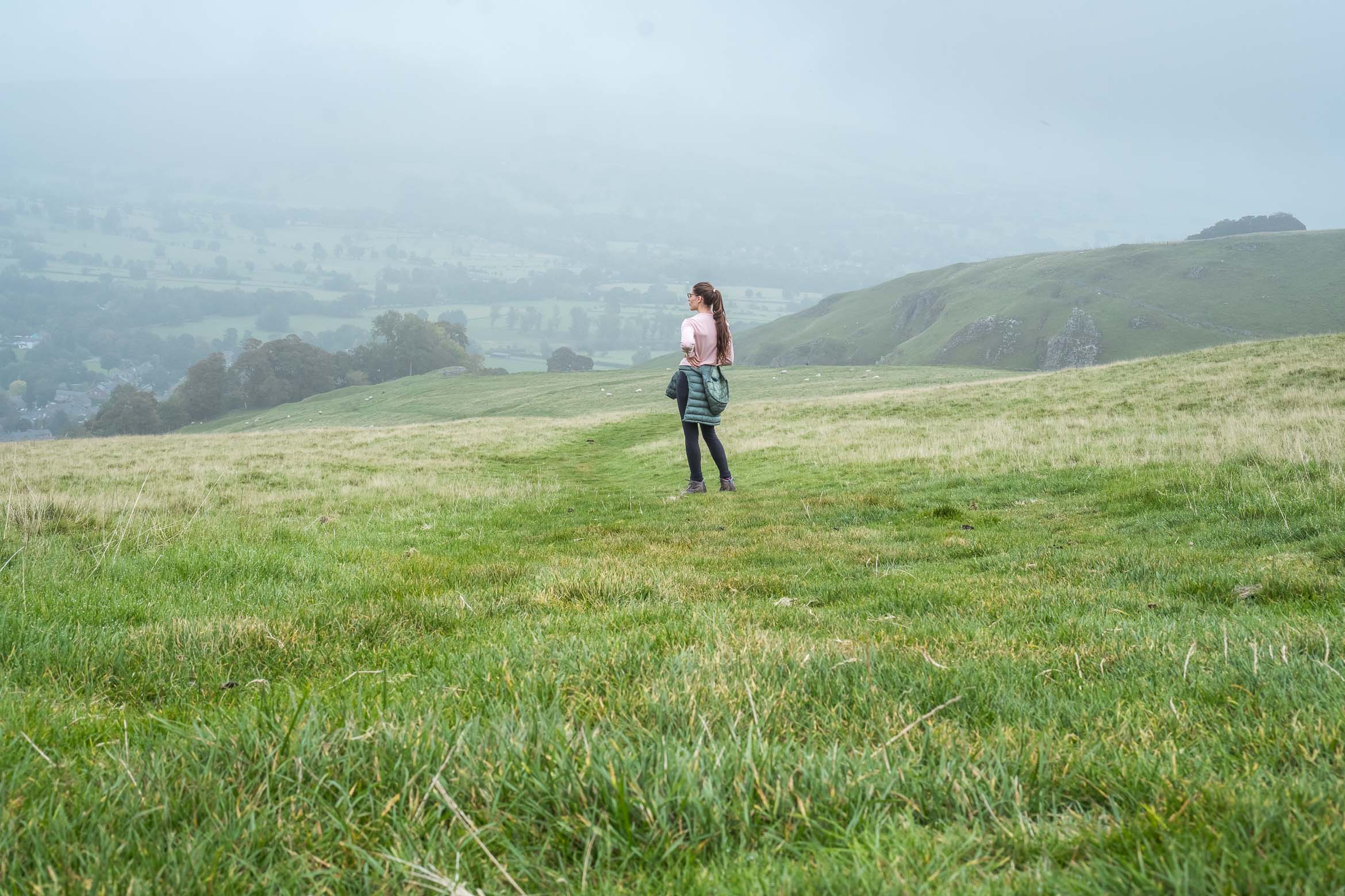
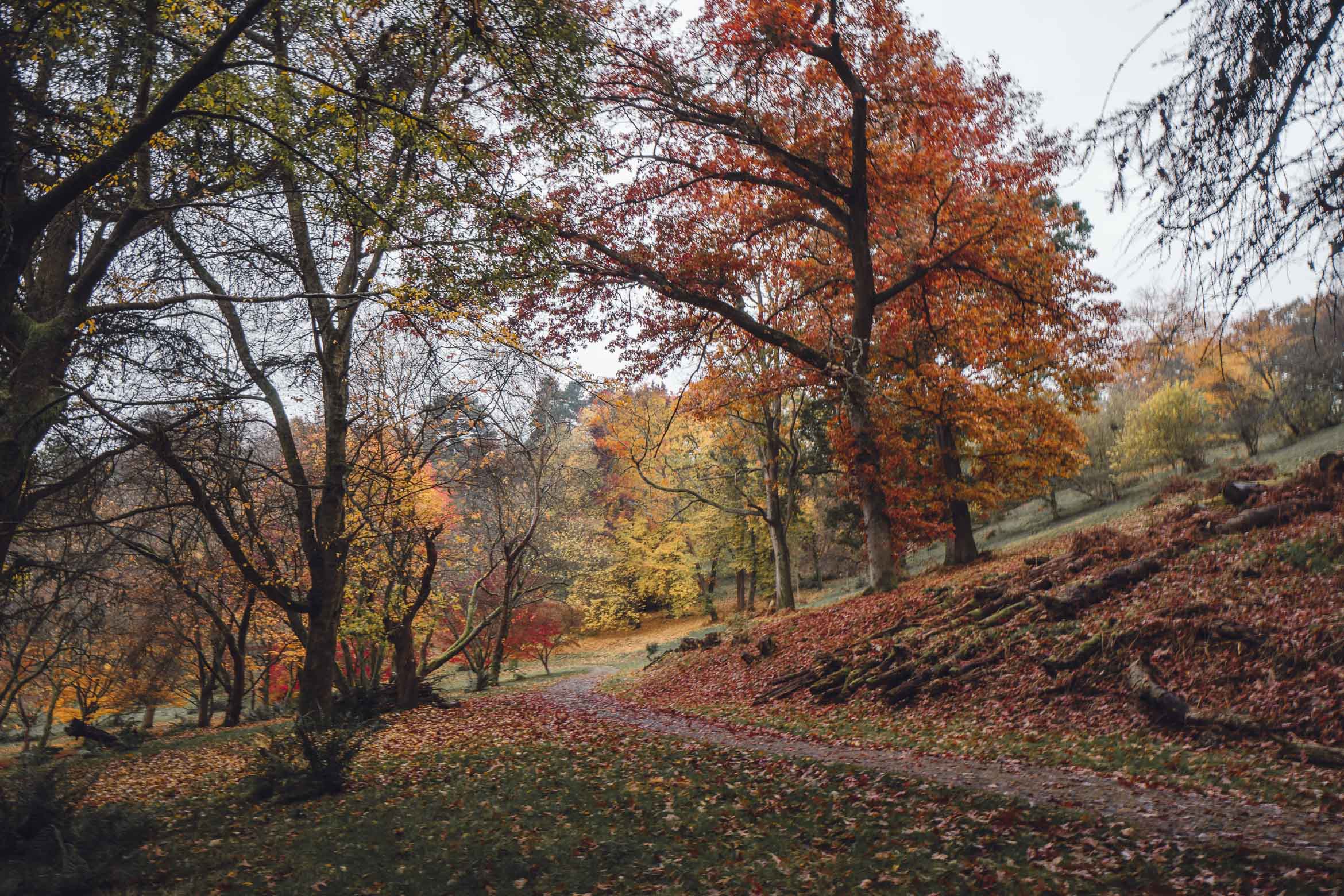
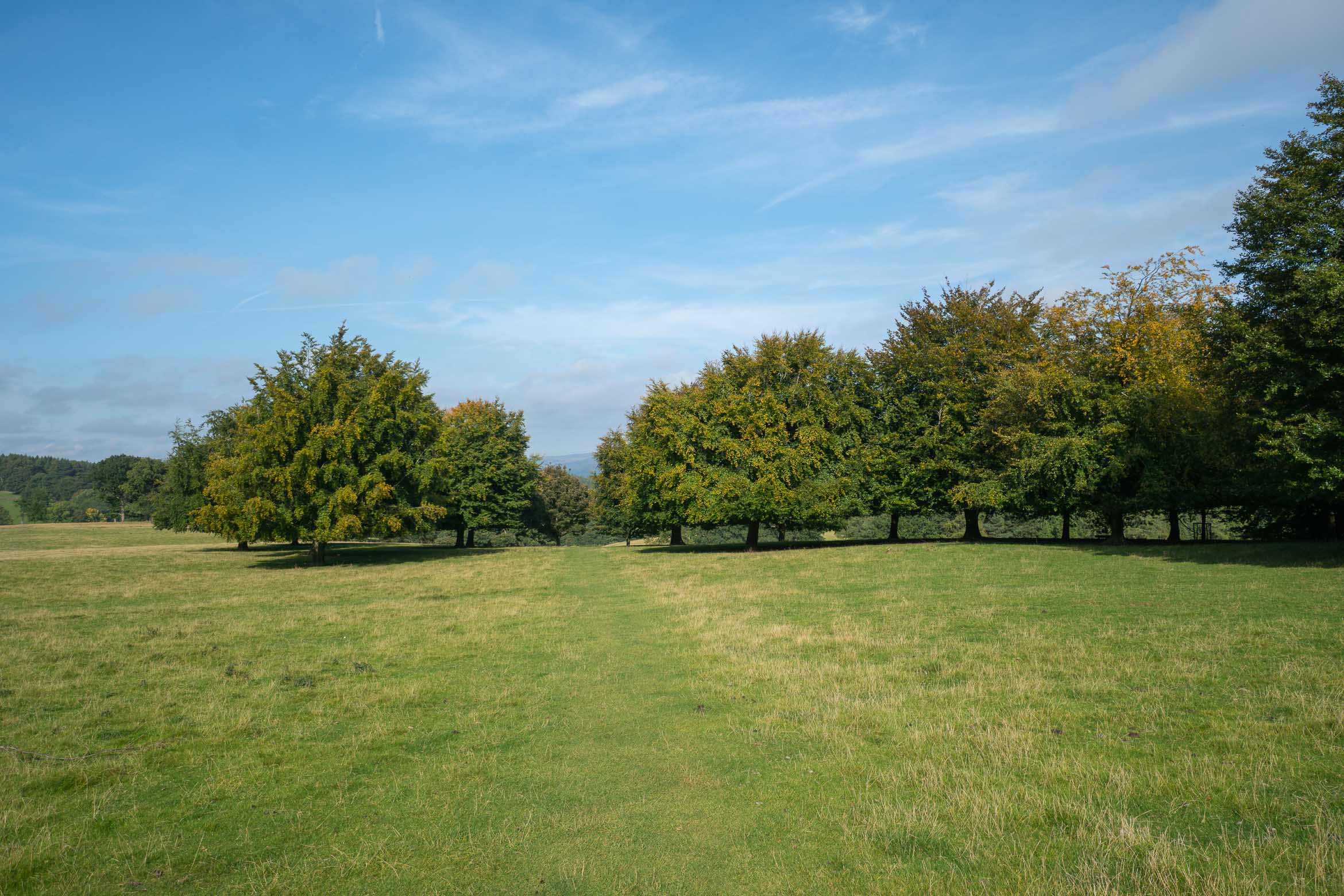
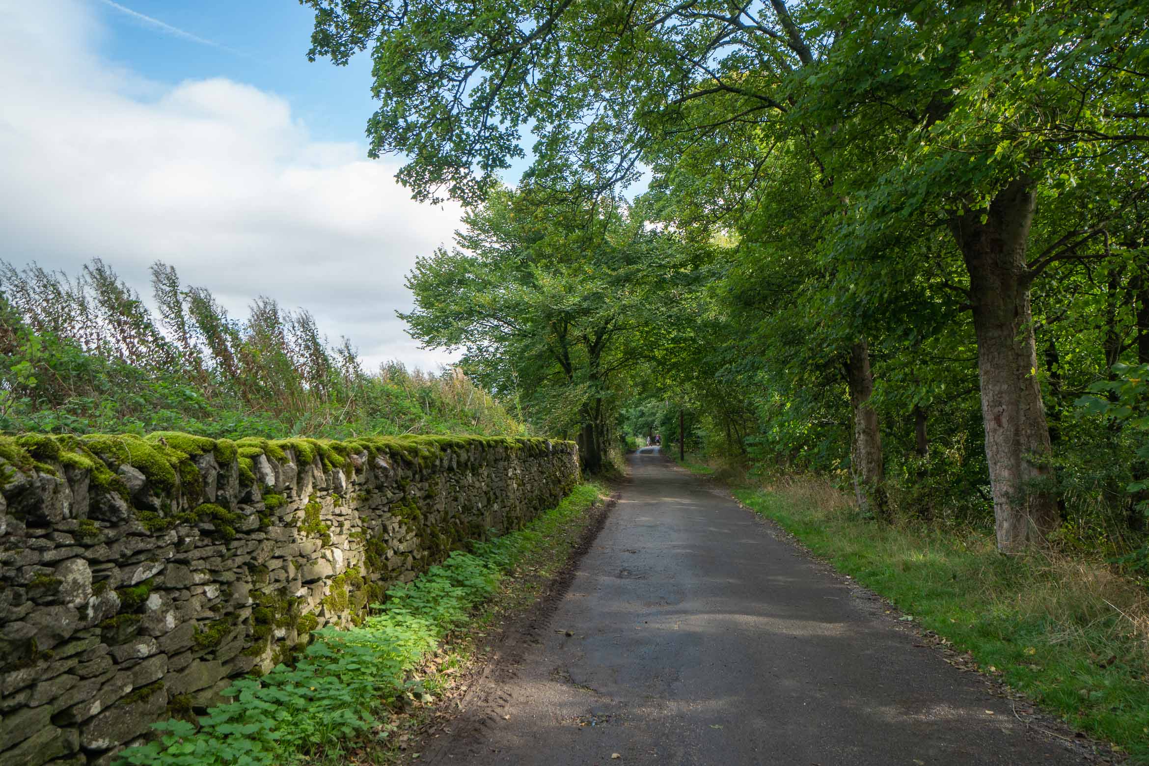
The Mole Gap trail will take you along the river Mole, through fields, woodland, nature reserves, views over the rolling hills, through a vineyard and quiet villages.
Mole Gap Trail: How to get to the Starting point
This walk starts at Leatherhead train station.
By train: Leatherhead is on the South Western Railway line and takes 42 minutes direct from London Waterloo train station.
By bus: the 465 and 479 buses stop close to Leatherhead station. If you arrive by bus, get off at North Street and follow the instructions from the War memorial in Leatherhead town centre.
Mole Gap Trail Directions
- Along the Mole Gap trail you will spot small silver arrows on various signposts, to help guide you along the way. Start from the exit by platform 2 at Leatherhead station. Turn right and walk along, crossing the road to Leatherhead Park opposite.
- Walk along the diagonal path across the park, coming out onto Station Road (A245). Turn left towards the town centre. You will pass Lidl on your right (walk straight on). The road into the town will bend to the right, just before the bend you will see the War Memorial on your left.
- Follow the road to the right, and the continue along the road, again to the right (not to the left where the high street shops are, unless you want a little stop off to buy snacks of course!). There is also a coffee shop you will pass called Charlie & Ginger, and they do high quality and delicious coffee- so defo worth a stop- start the walk the right way haha.
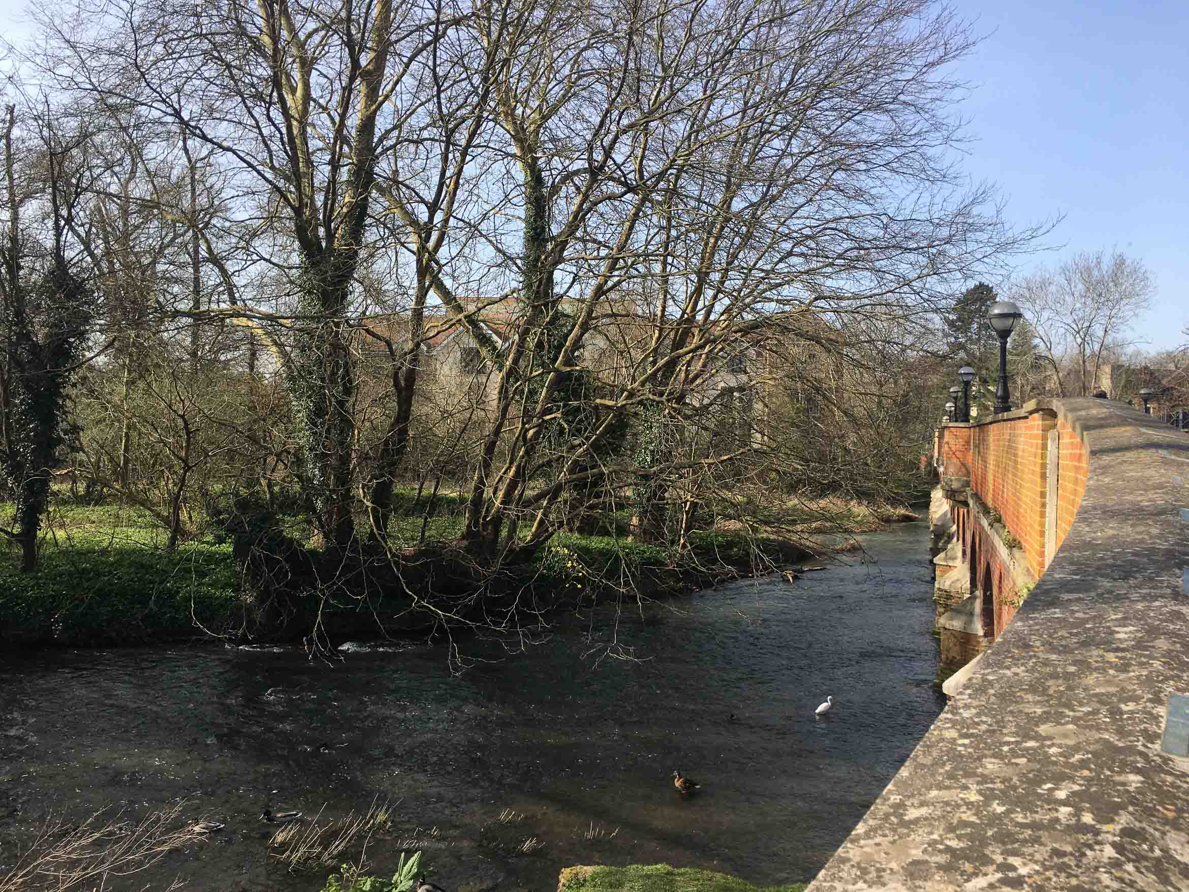
- The road will come out of the town, and you will see the Running Horse pub on your right. Carry on straight ahead over the small bridge and take the first left onto the small path that runs alongside the river. This is a lovely little spot to sit and enjoy your coffee if you don’t want to walk with it!

Turn left just afer this bridge. - Continue along this path, which will go past a football pitch and comes out at a small road with a bridge. Turn right along the road (you will see a wooden fence running along the left).
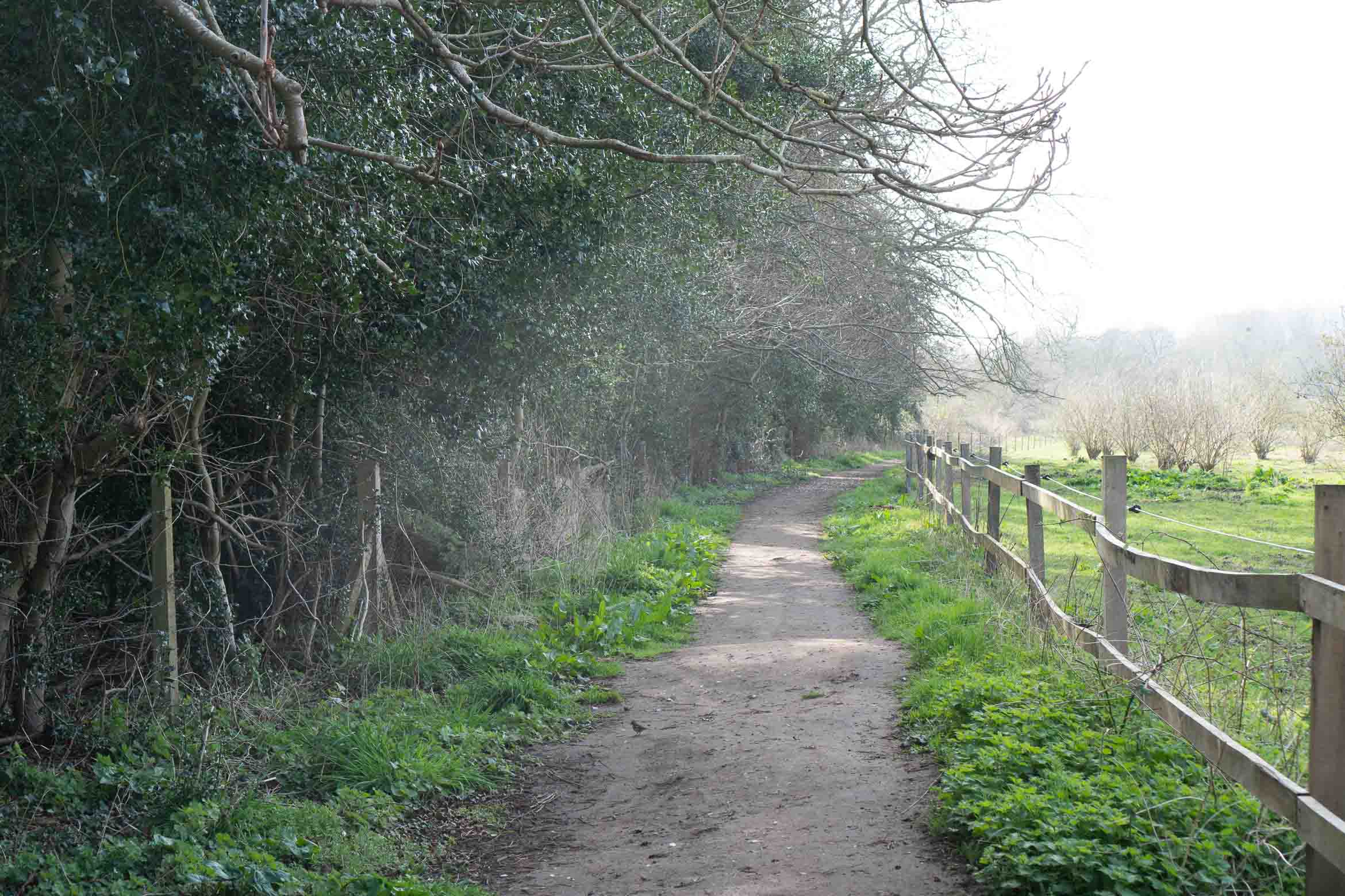
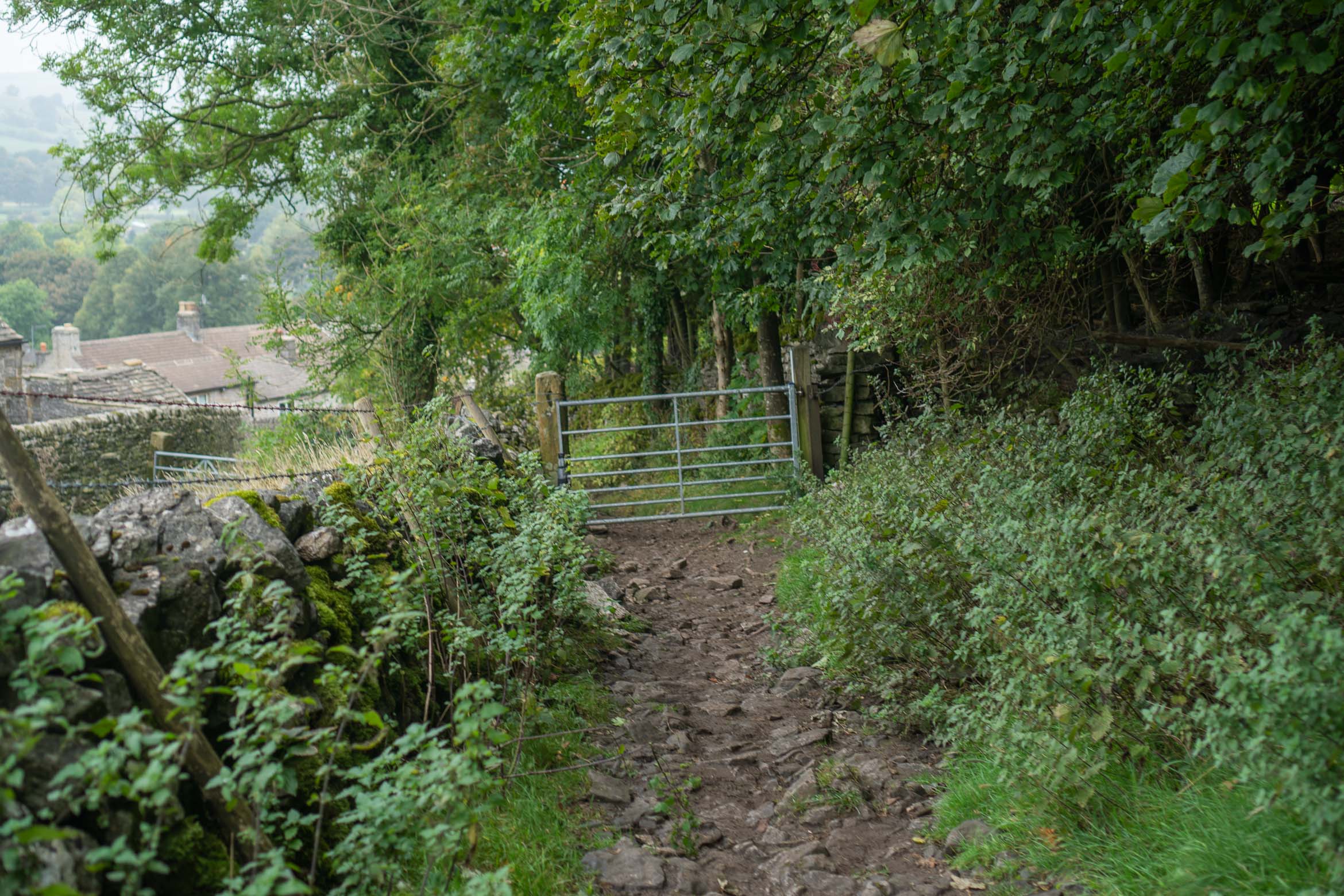
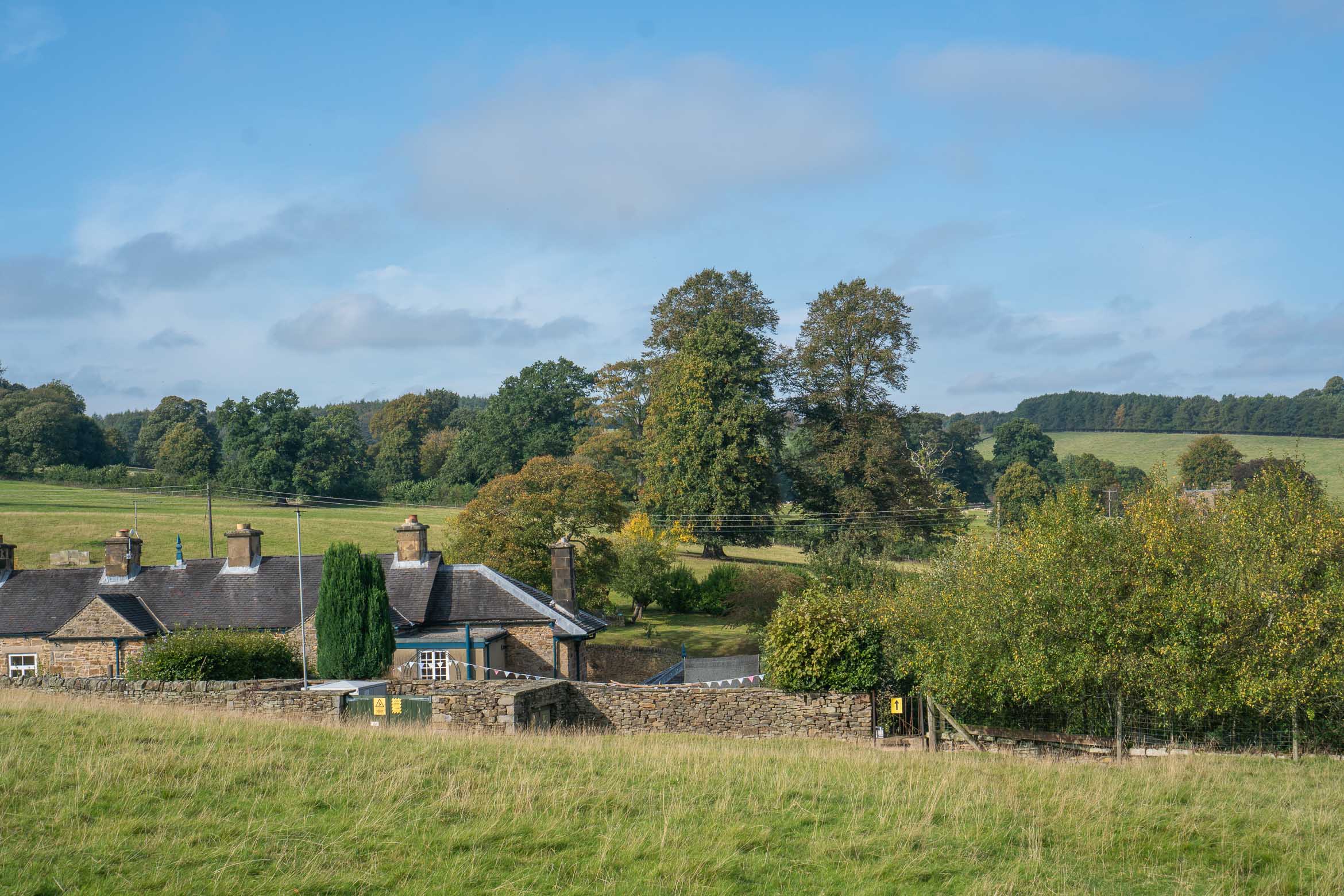
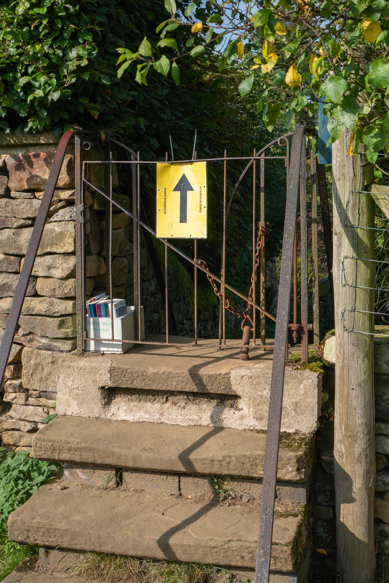
- Just ahead you will see the entrance to Thorncroft Manor. Just past this, turn left onto a path through a silver gate. Continue through the field, to another gate.

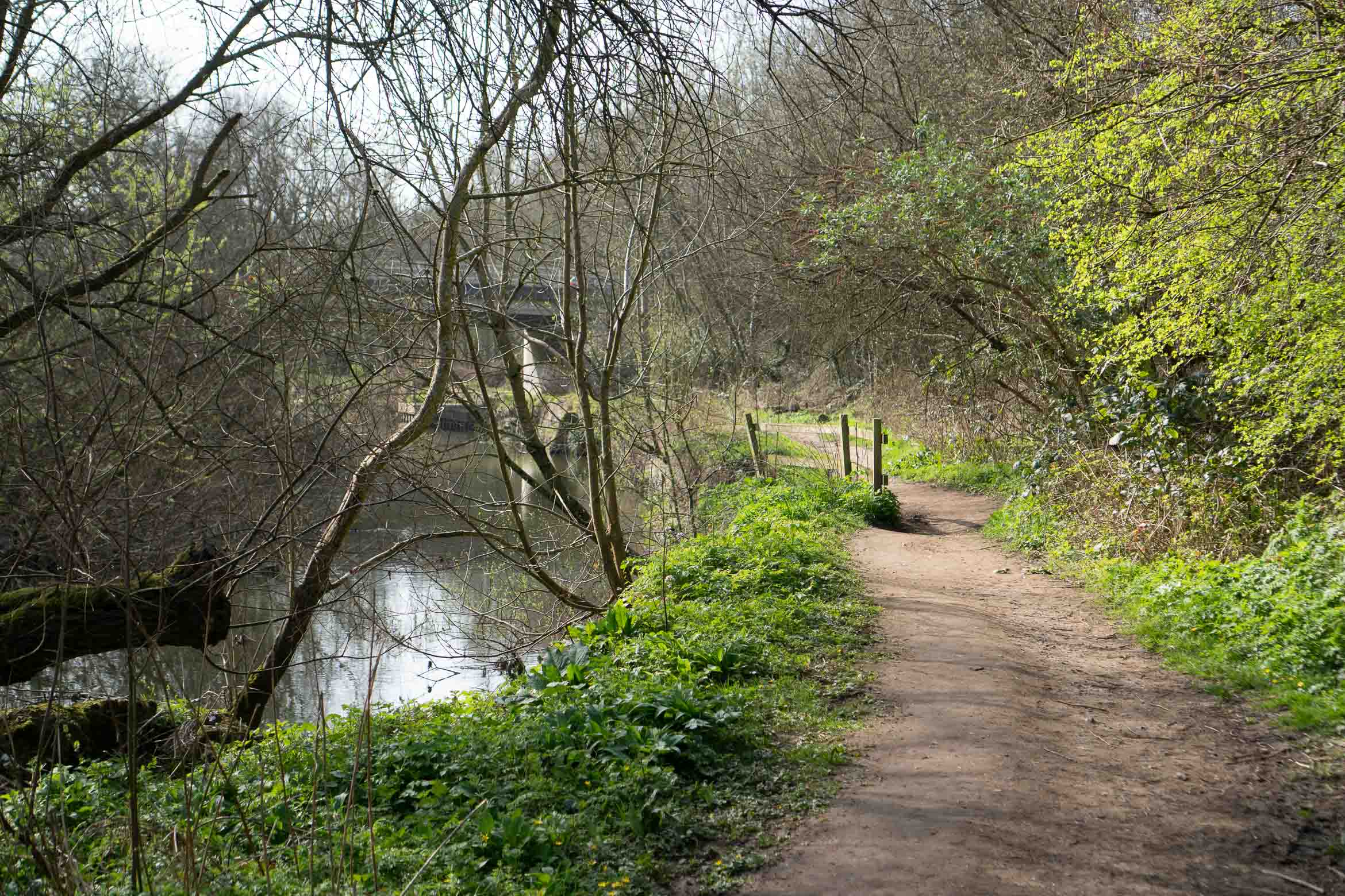
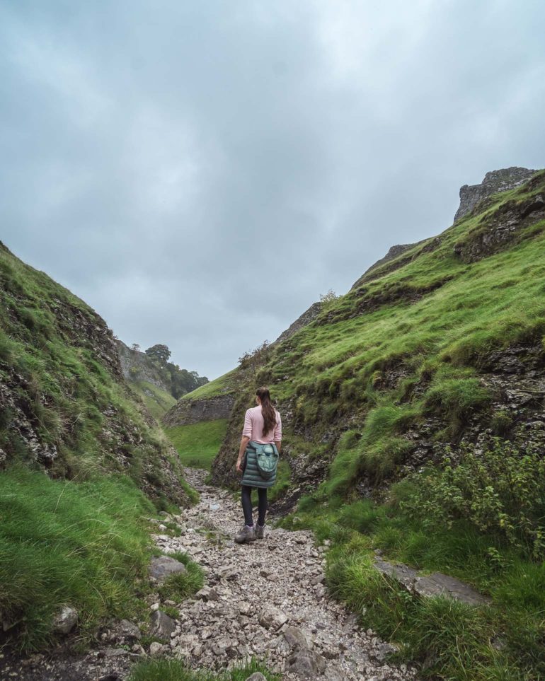
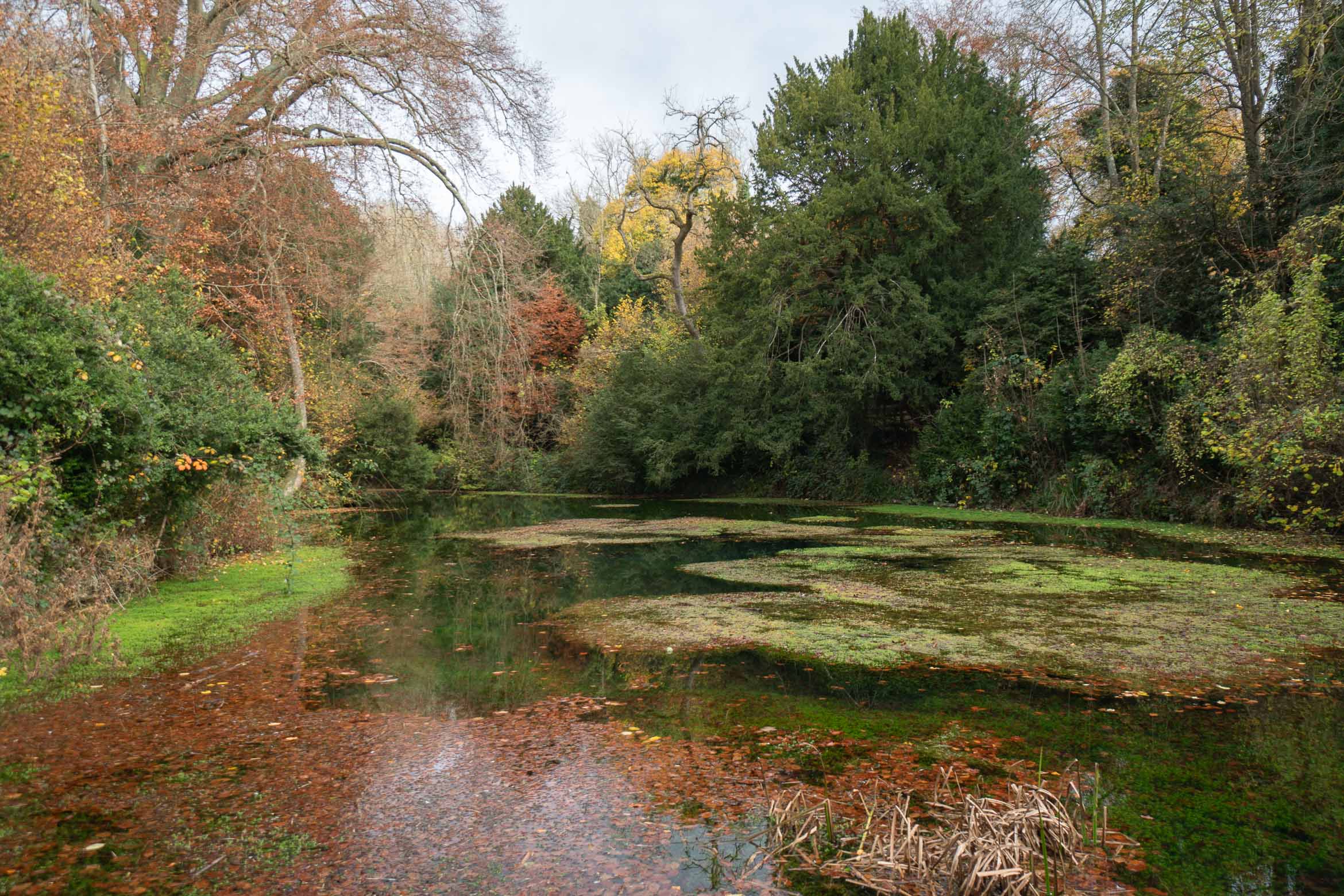
- Continue straight ahead alongside the pretty path by the river, which goes under a bridge.
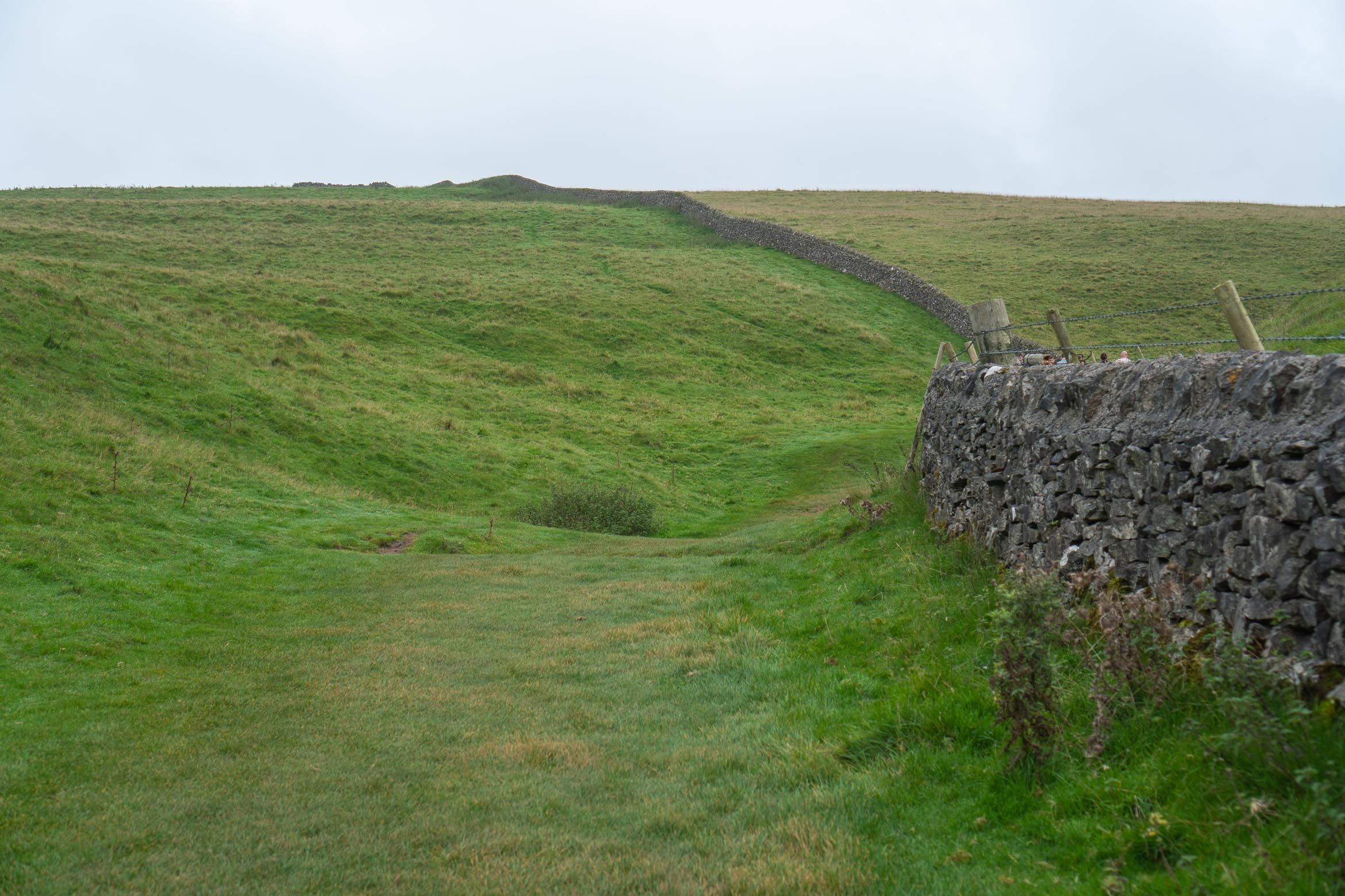
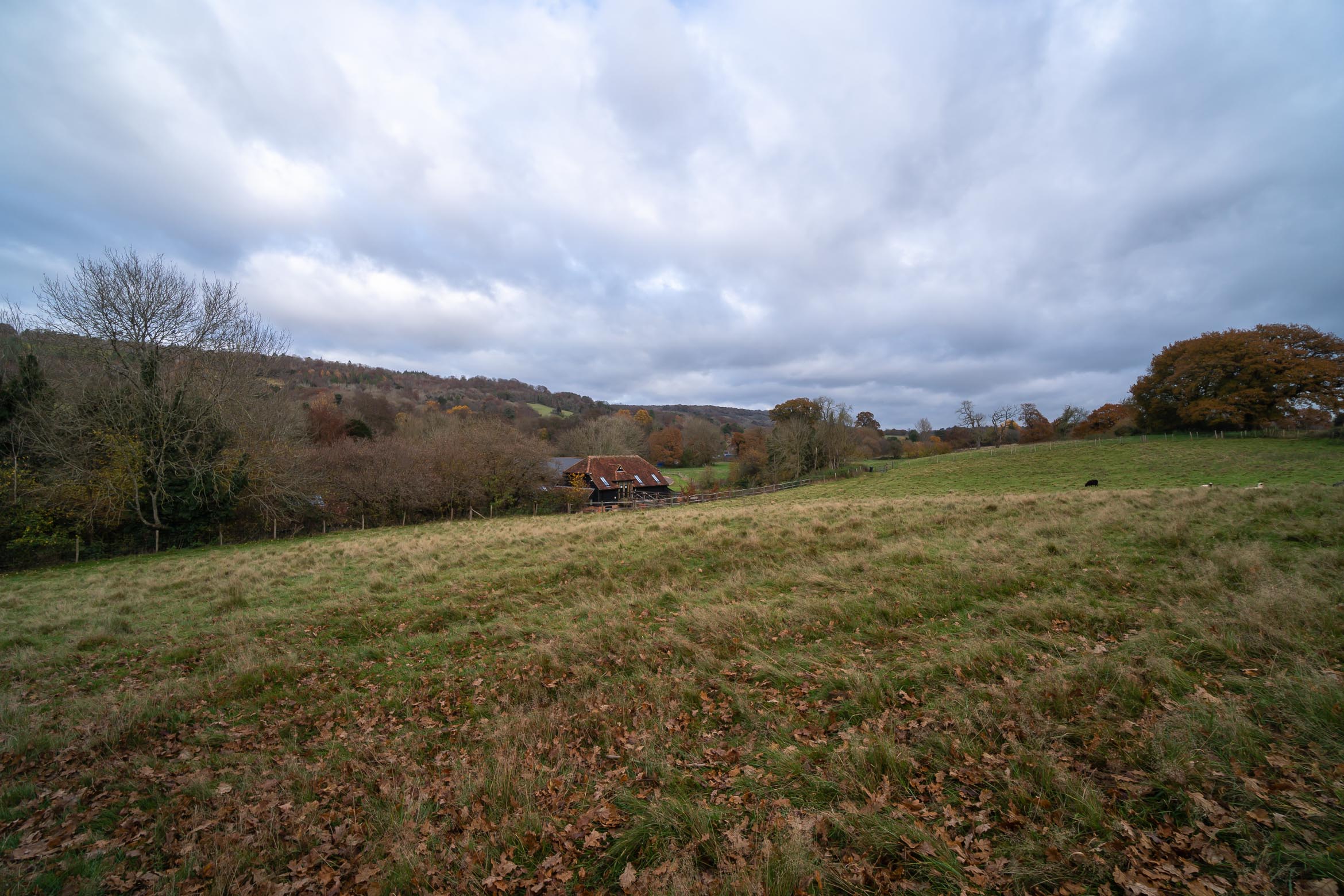
- You will eventually see another gate, go through this into Norbury Park and follow the path across the field, which eventually bends to the right. This joins another track, just follow it along (you will see a large gate and a smaller gate side by side).
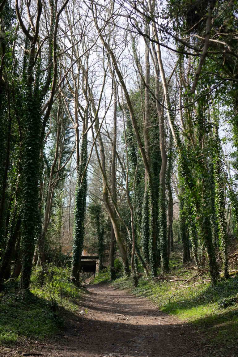
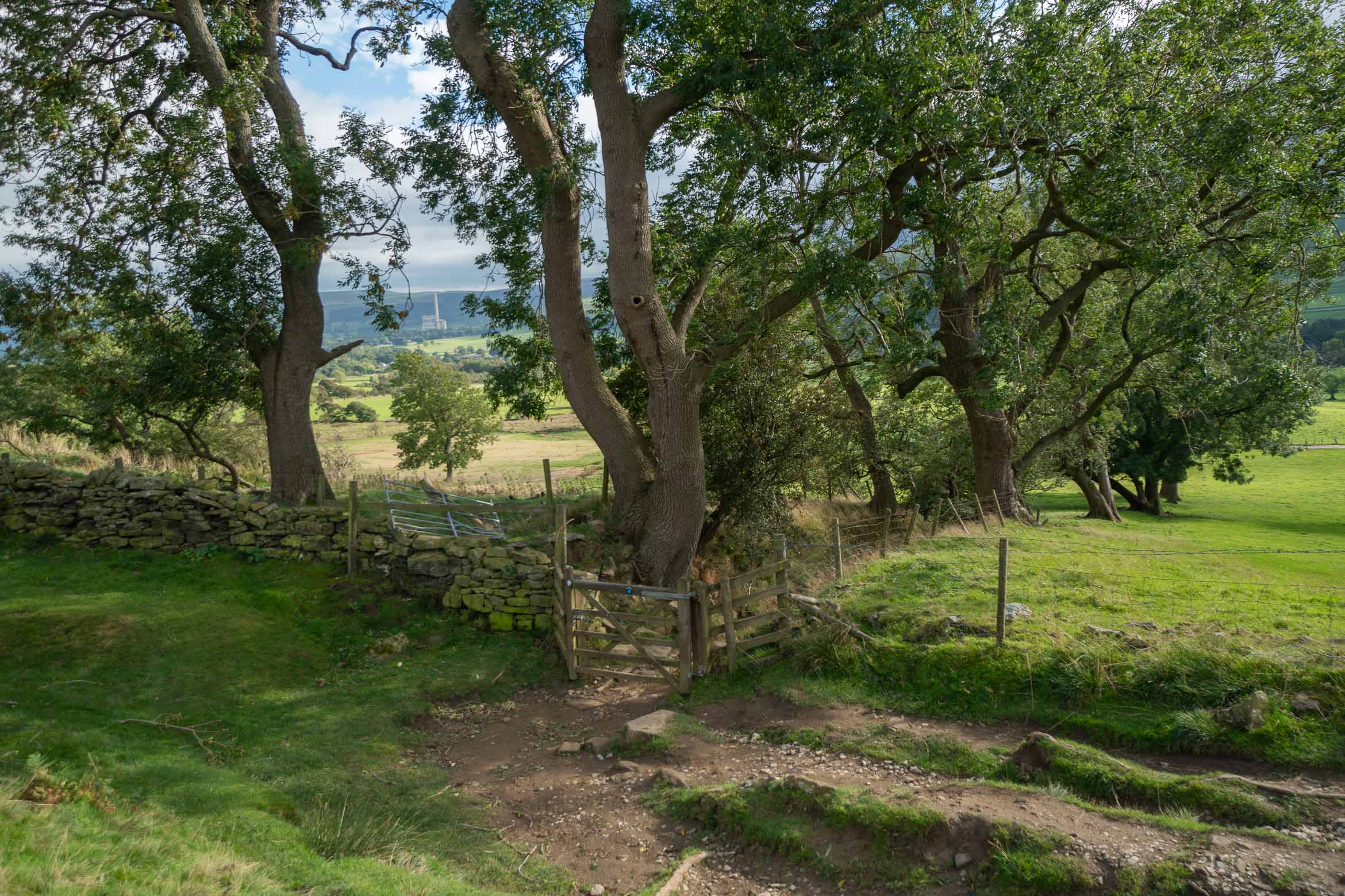
- Continue straight ahead until you see a house in front of you (it might be just behind some trees). Then turn right through another gate, to take the path uphill. This will go under the railway.

Path under the railway. - Just past this you will see a path to the left which goes uphill and is a little steep. It is a small path but quite well defined so you will notice it.
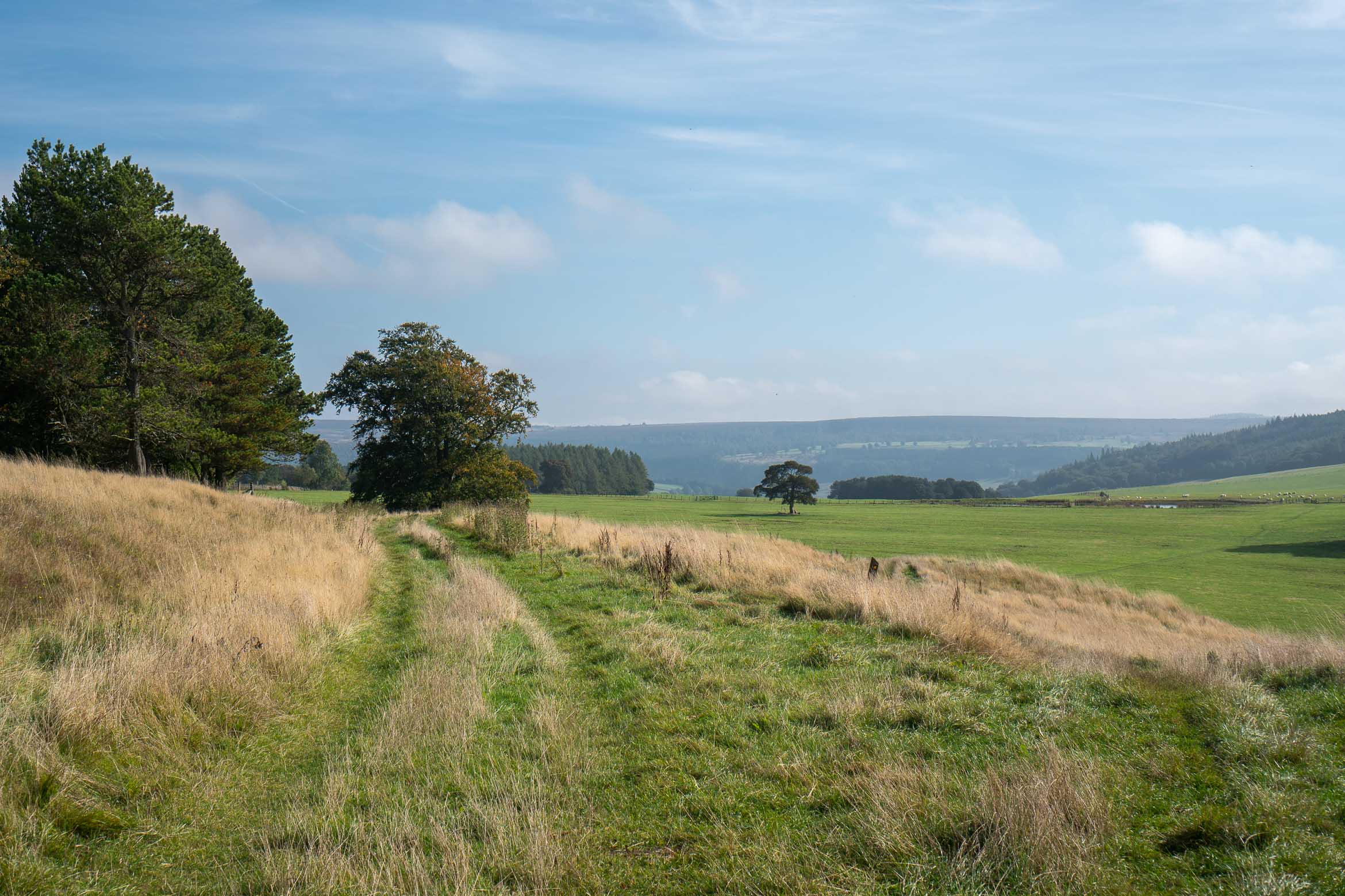
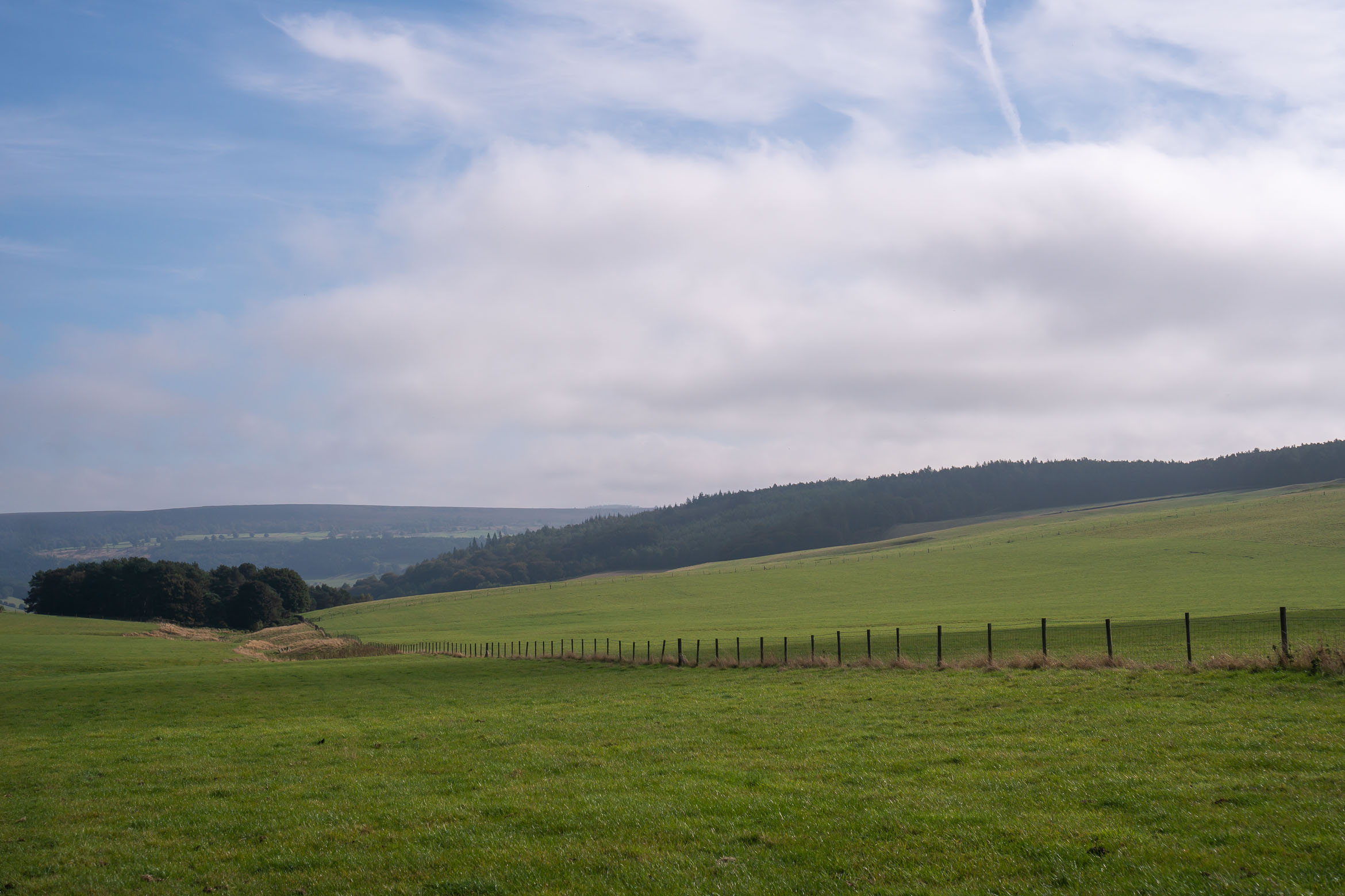
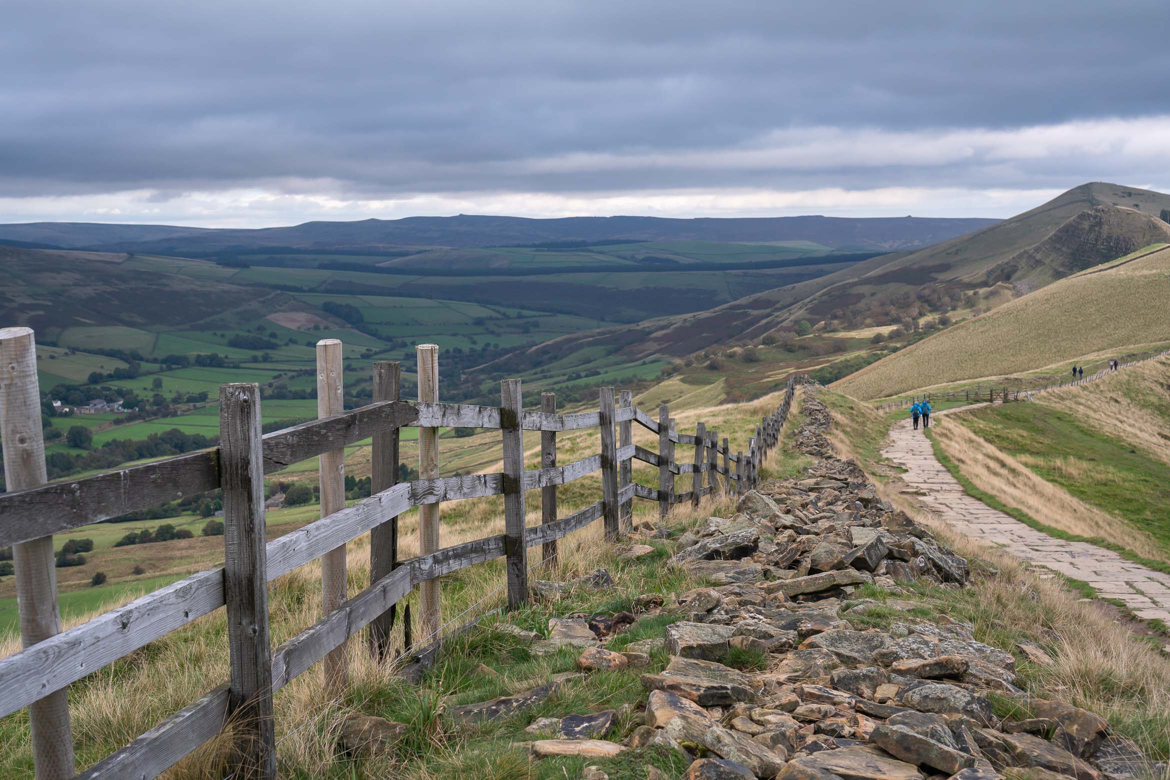
- At the top of the path, it comes out onto a road. Follow this road slightly to the left and downhill. After a while it opens up on the left and you will see views of the rolling hills and houses in the distance. There are a couple of wooden benches on the right and a grassy path going uphill in-between. Take this path.
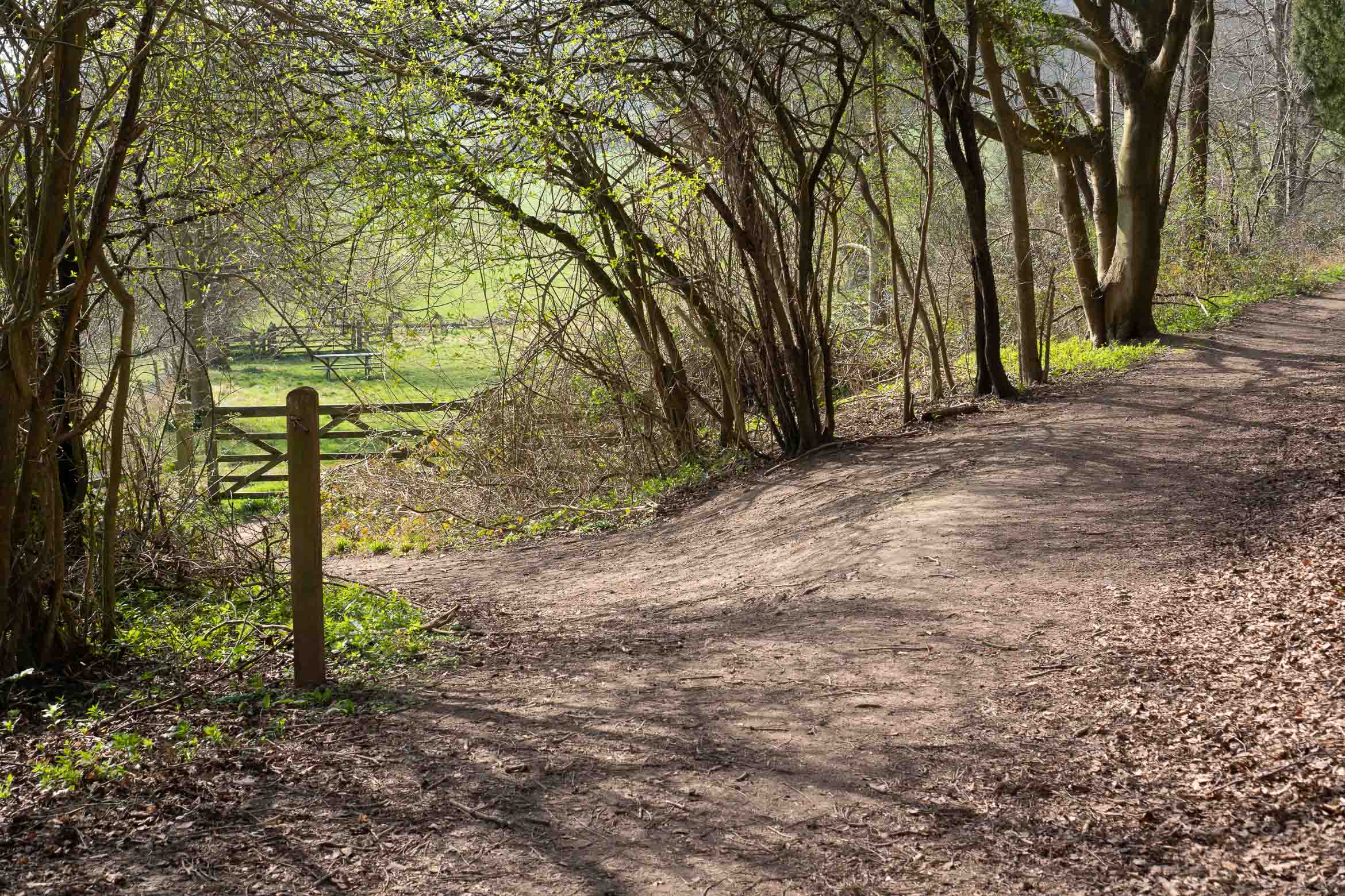
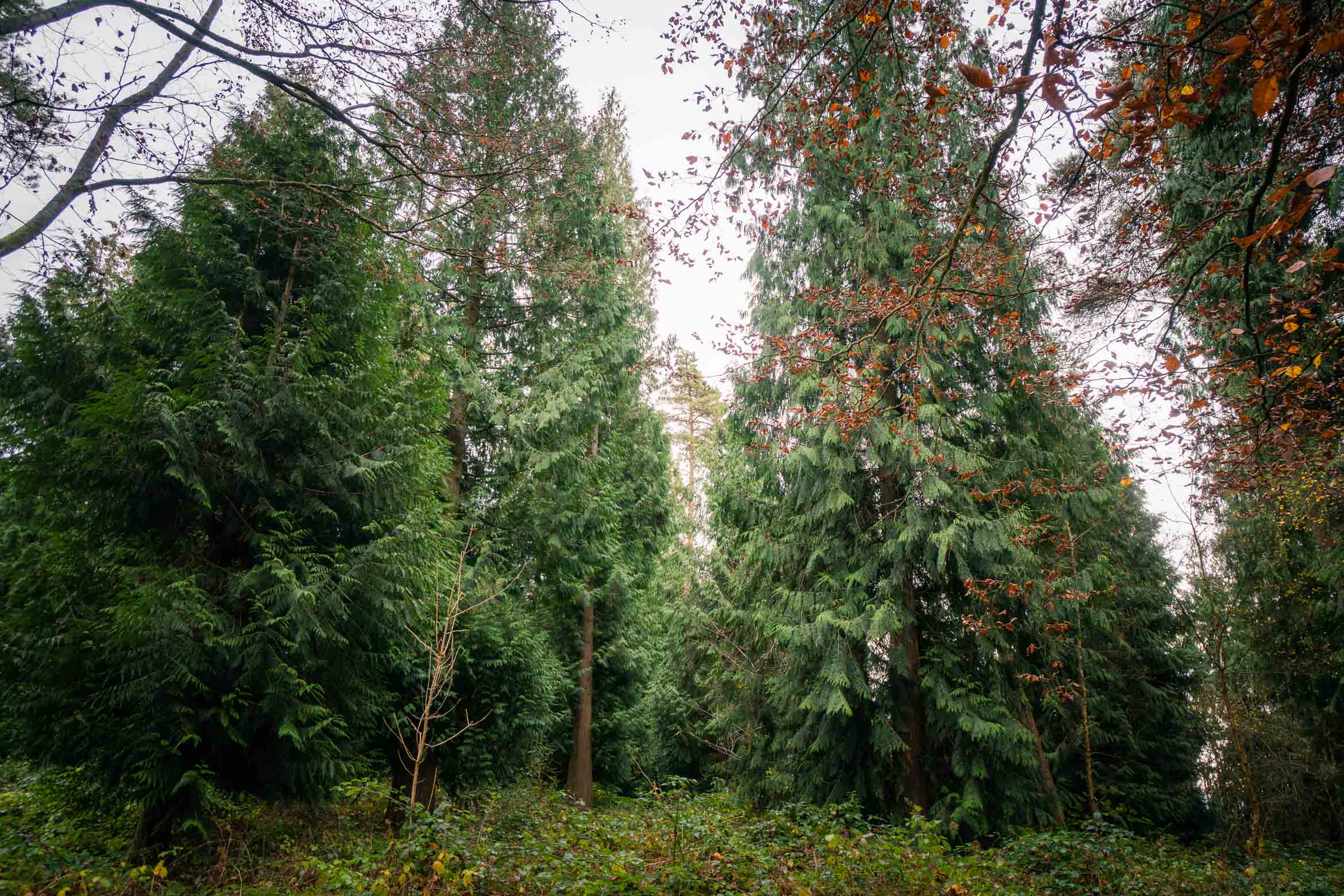
- Once up the grassy path, cross over the small road, and continue straight ahead to a path into the woods.
There will be a tiny (slightly overgrown) path straight away on the left, go past this and then past the second path on the left, before taking the third path to the left. - It will lead to a small open section of grass with a couple of wooden picnic benches. This is a good place to stop for a snack if you have brought your own food/lunch.
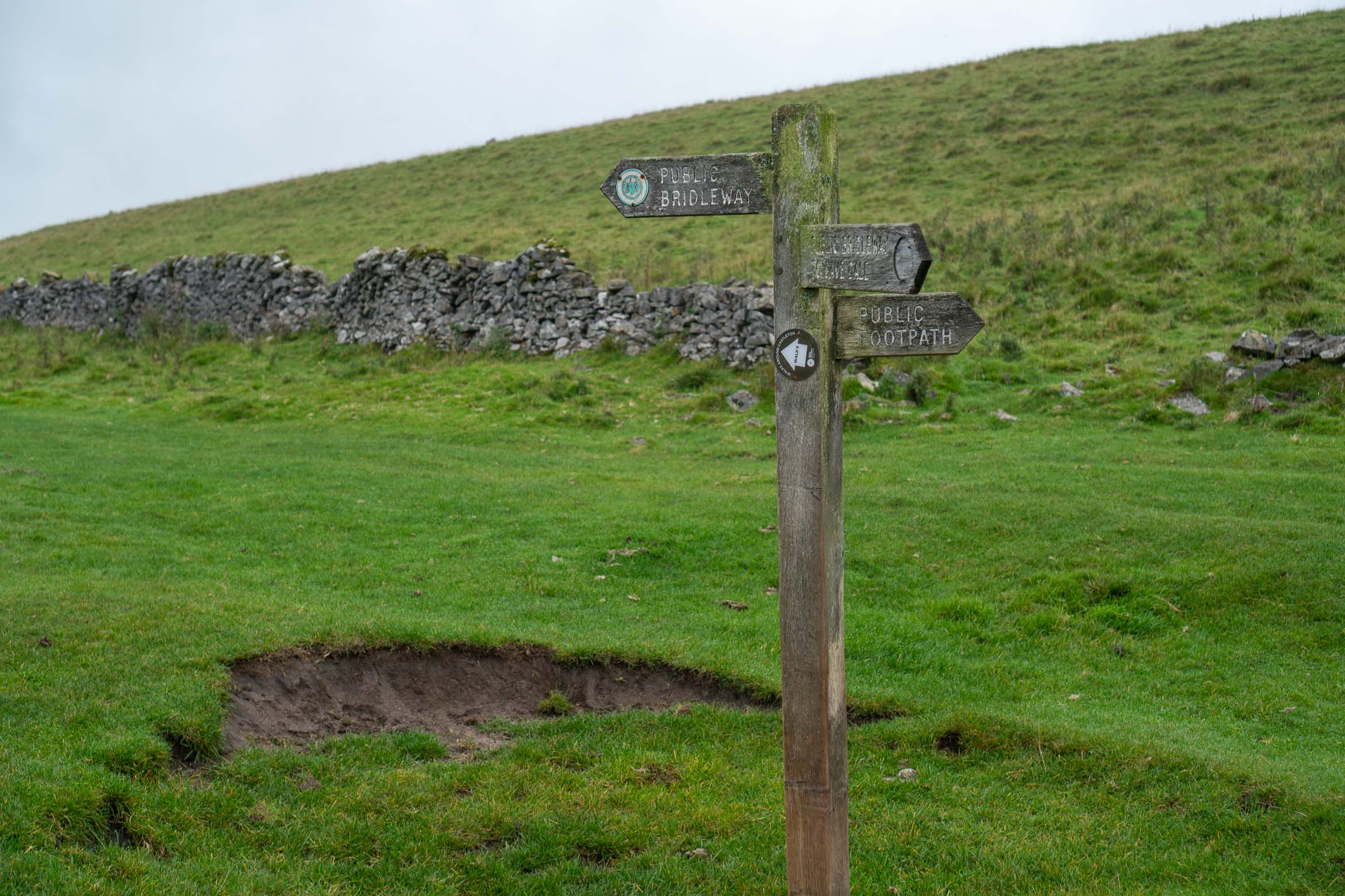
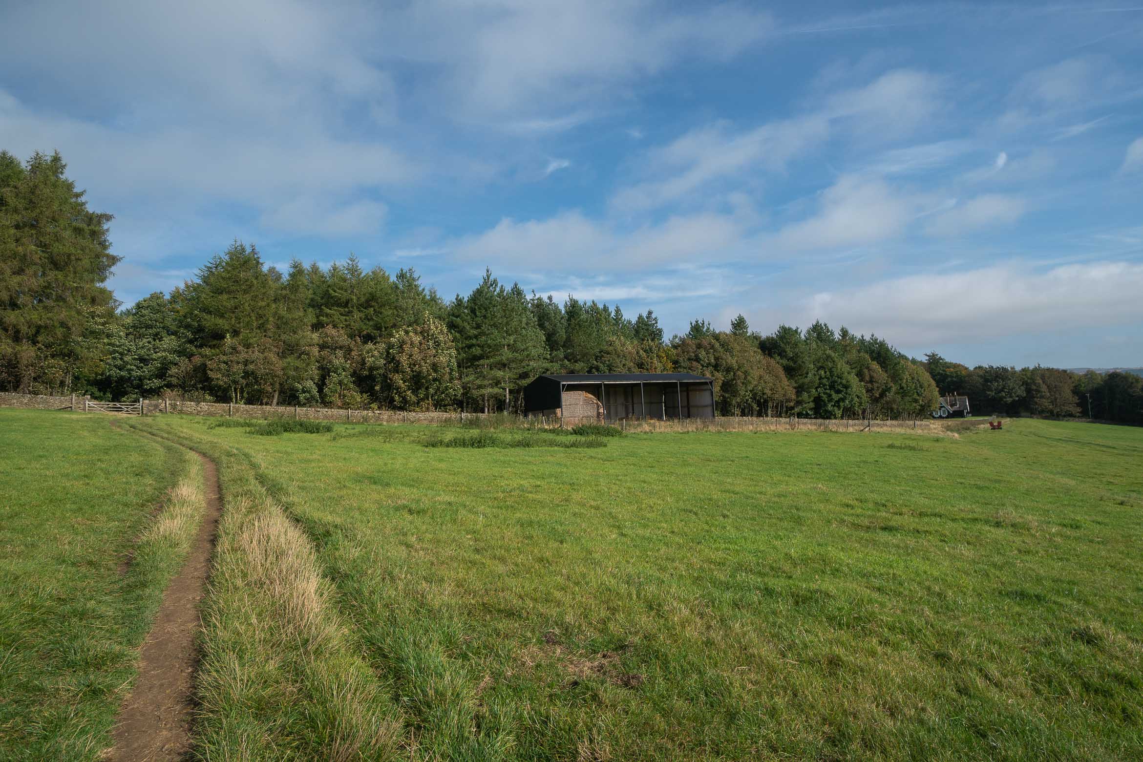
Head through the gate on the left ino a small picnic spot. - Continue straight through, past the benches and onto the grassy track ahead, in between the farmland. Once at the farm, continue along the public footpath (there is nowhere to really get lost as all other paths are marked private).
- The path will cross a small bridge and will bend around to the left, past some more farmland (this had some cows in when I walked past). You will see some more farm buildings ahead of you. Turn right, following the public footpath sign.
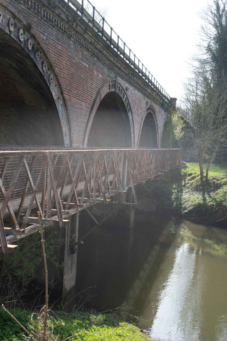
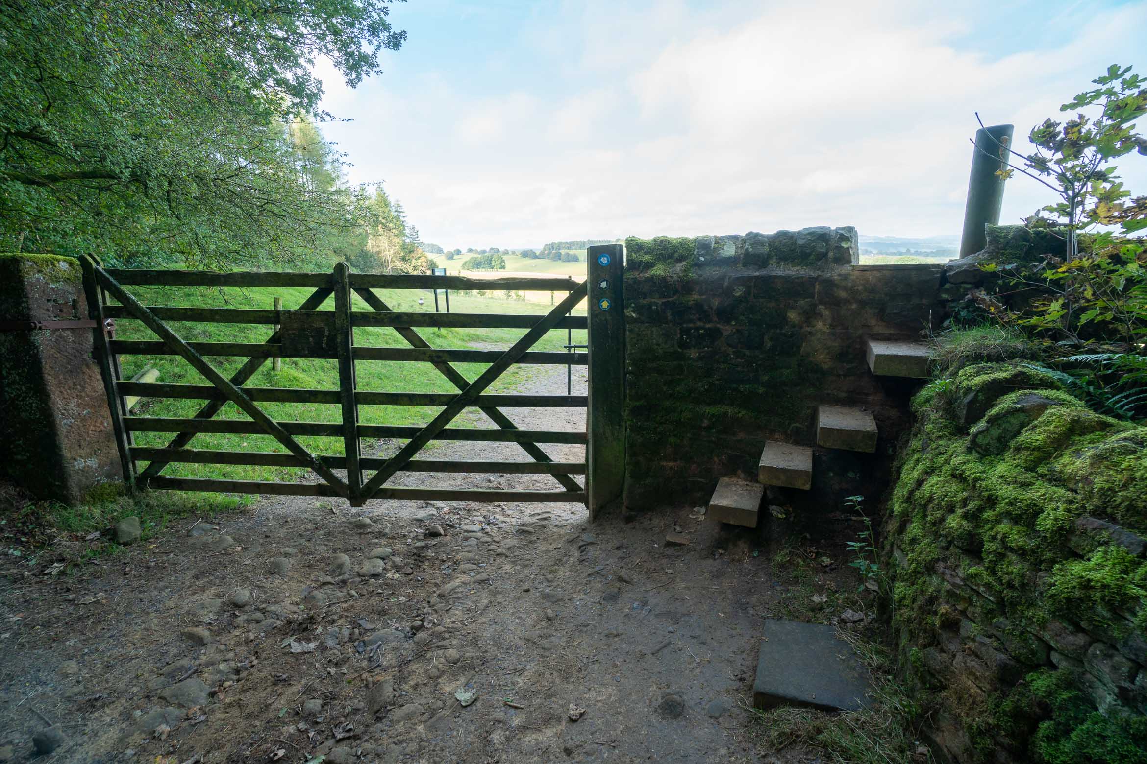
- This will lead to a gate, which crosses a grass field, towards another couple of gates. After the third gate, take the path to the right, which leads to a metal foot bridge which crosses over the river (next to a brick bridge).
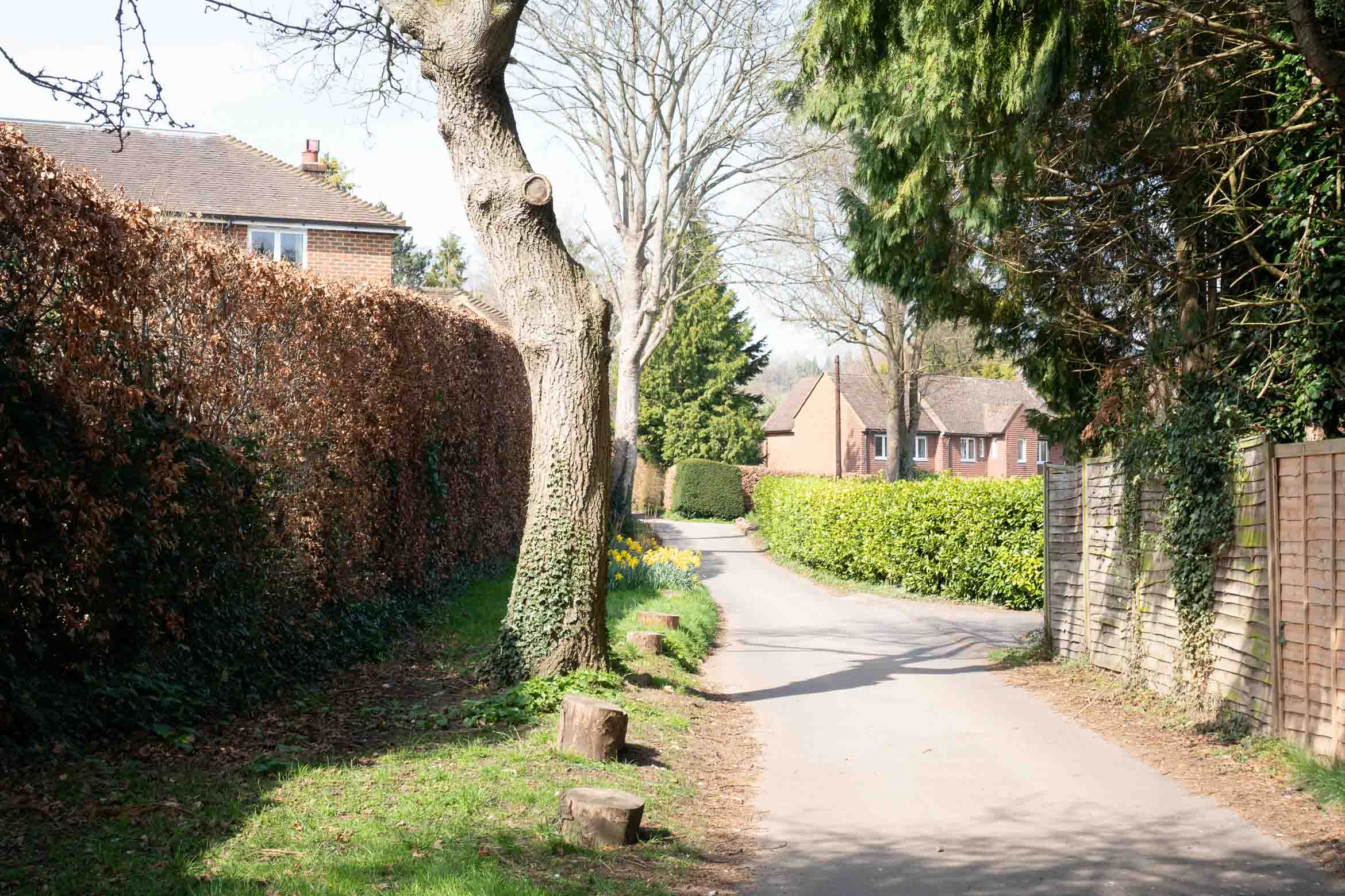
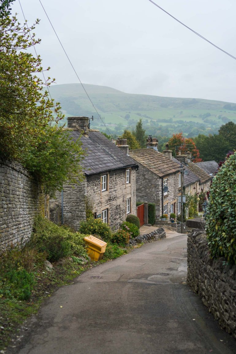
Once crossed, continue straight ahead over some grass, and onto the road. - Cross over Chapel Lane and follow the road which bends slightly to the left. Soon after you will see a public footpath sign to the left. Take this narrow path in between the fence and backs of the houses. Keep an eye out for this path as it may be easy to miss.
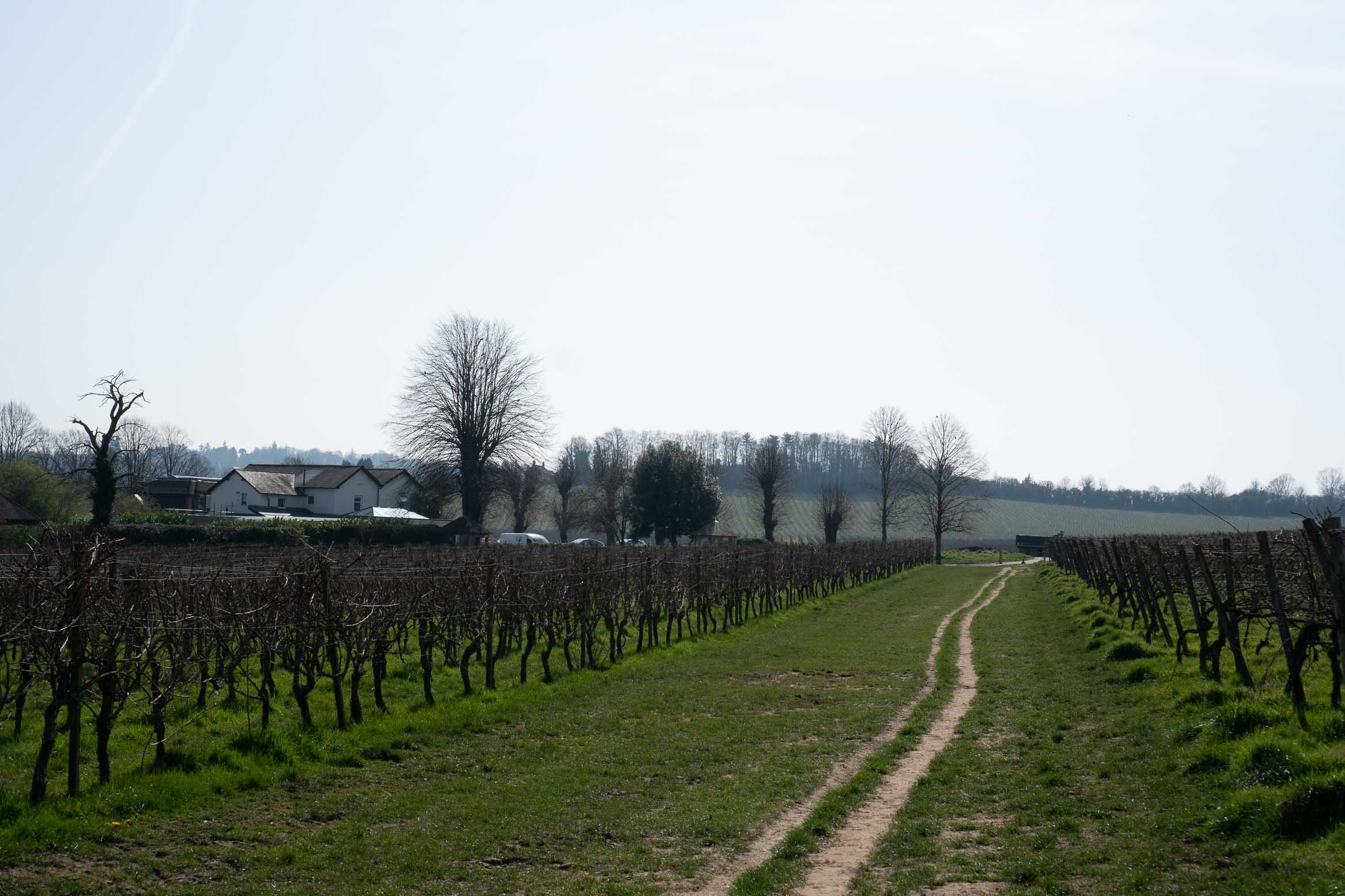
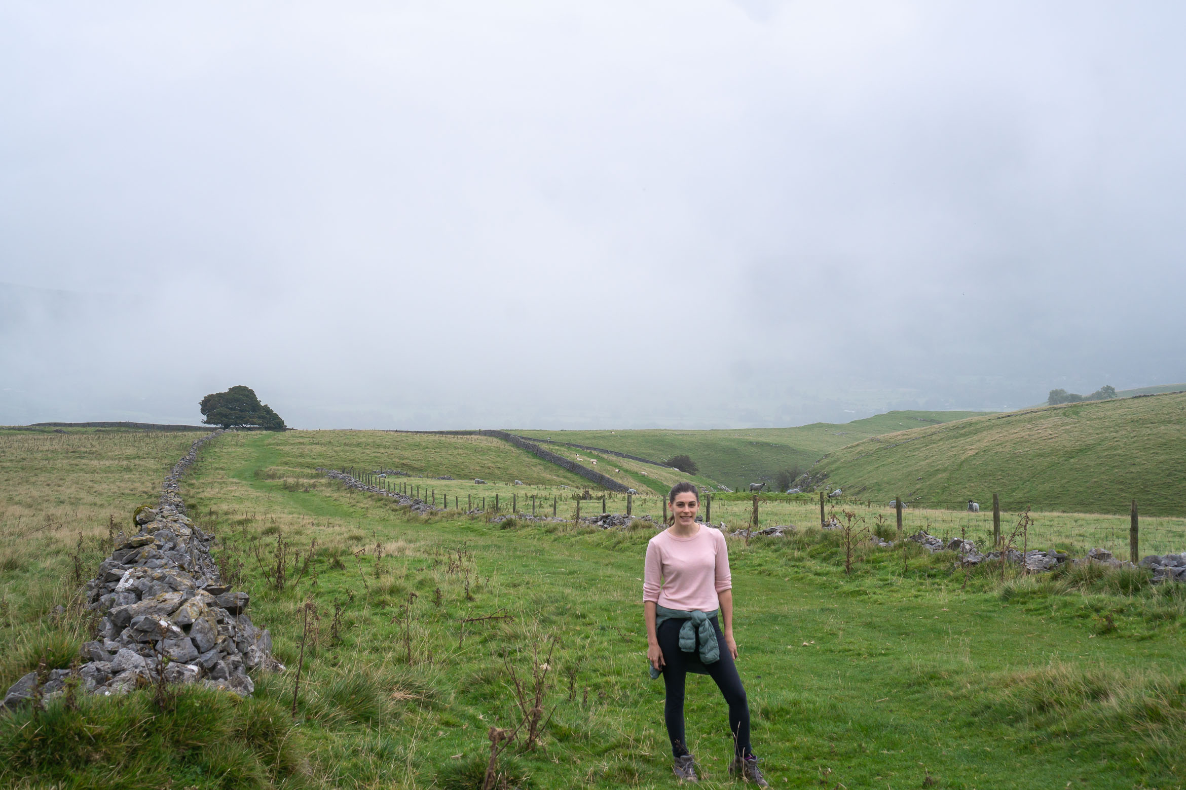
- You will come out at a pretty little road, cross over and continue straight through a gate. This will lead to another couple of gates. Continue straight onto another path which leads through to the vineyards.
Cross over the road. - Stay straight on over the small road crossing the vineyard and continue uphill in between more vineyards.
- Keep in mind this section is quite open, so if going on a hot summer’s day, bring lots of sunscreen and water!
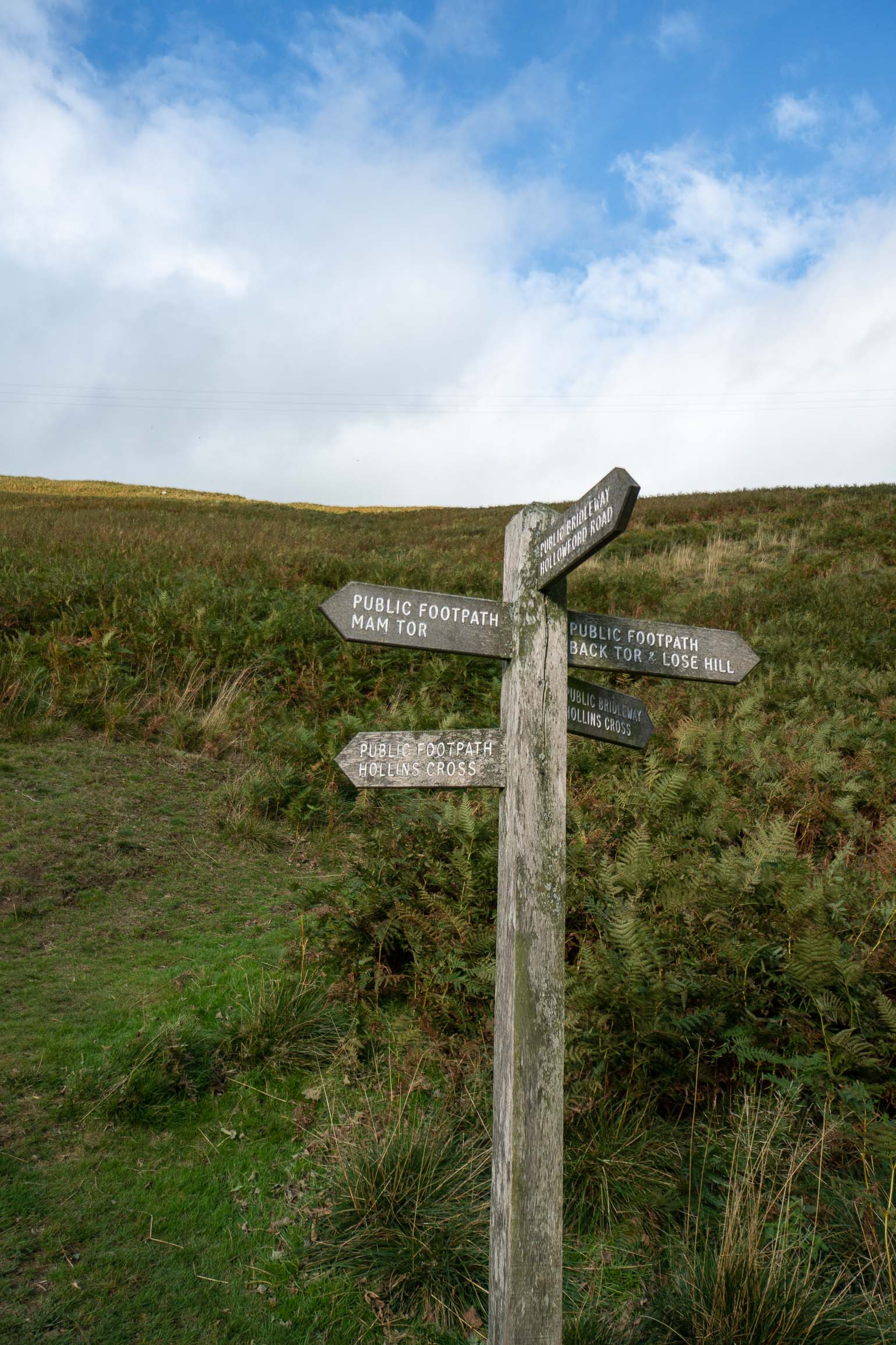
This path goes on for quite a while and will eventually bend around to the right. Do not turn right but continue straight ahead along the grassy public footpath.Public path through the vineyards! - You will see a gate and a shaded path to the right. Go through the gate and uphill on the path. This leads out to a wooden signpost with directions to the Dorking stations to the left or the Dorking town centre (straight on). I followed the signs to the town but ended up coming out near the stations for some reason! Either way the station isn’t too far from the town!

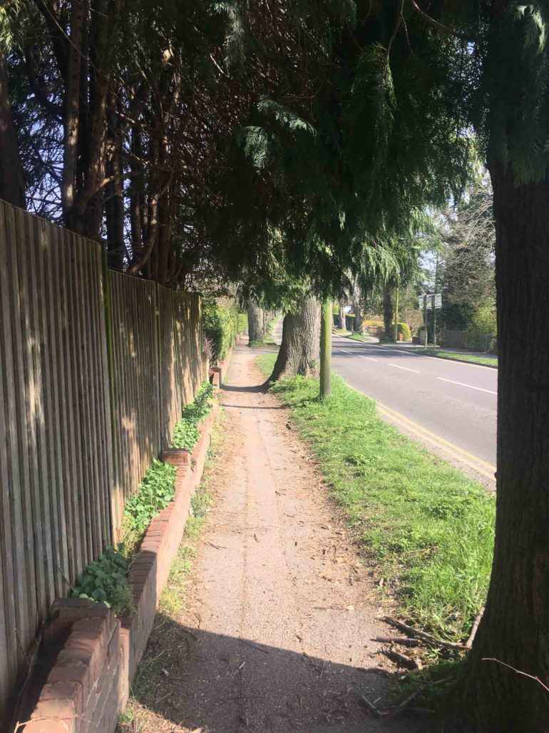
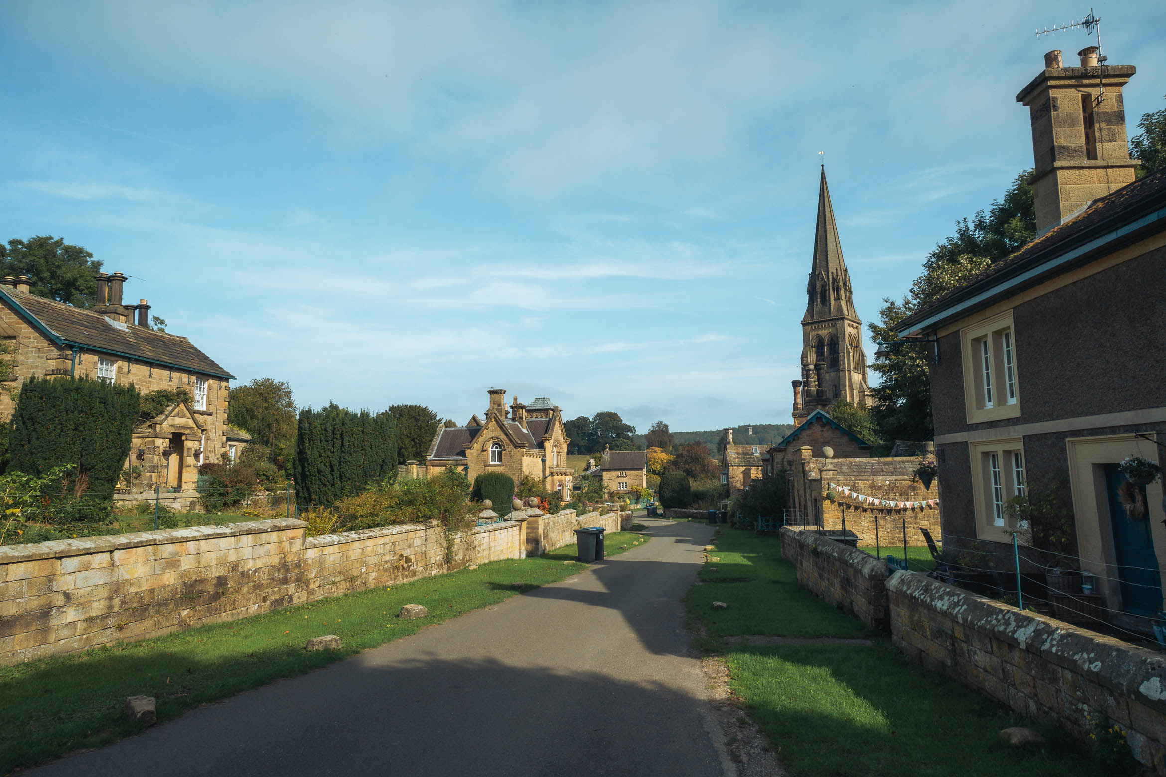
Path back to Dorking
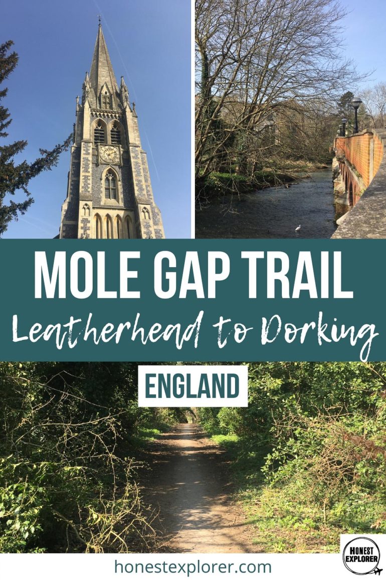
Church in Dorking, Surrey
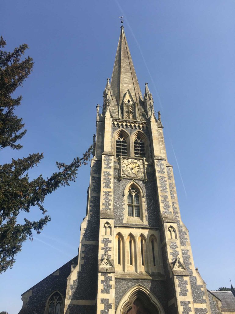
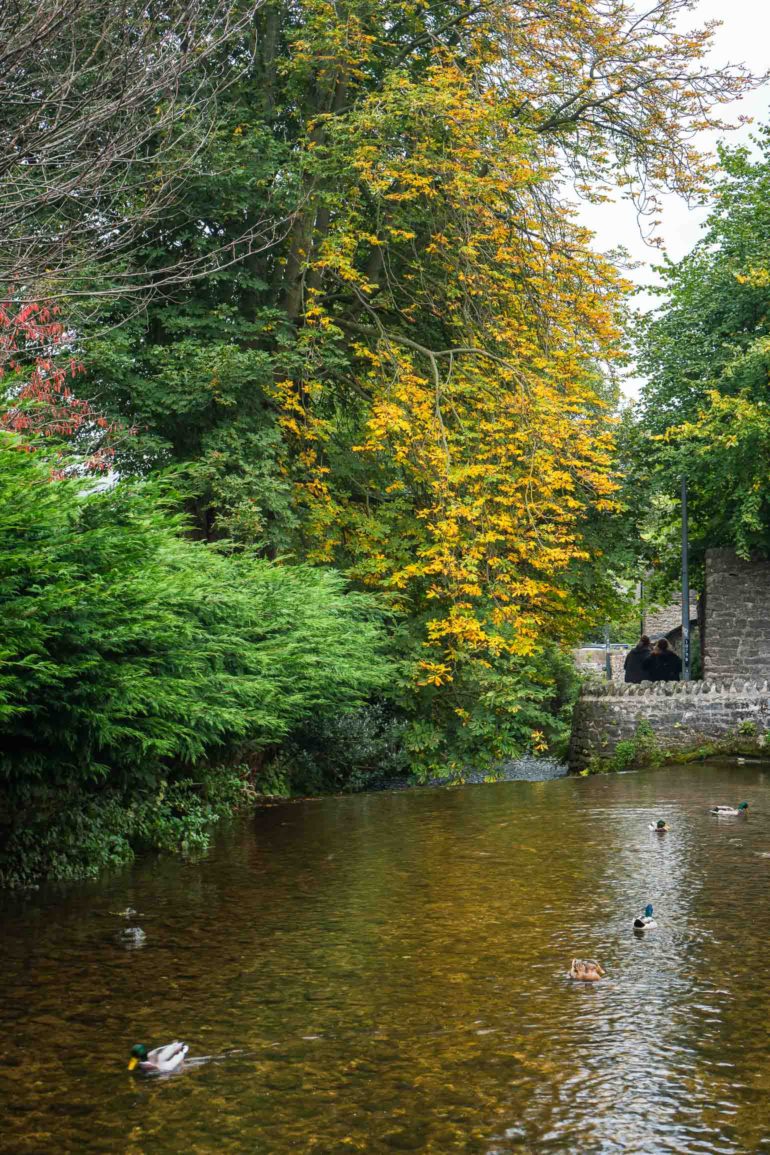
Hopefully you managed to follow along with the Mole Gap trail and didn’t get lost. Once at Dorking you can also do the heritage trails, which give a brief overview of the town. Dorking is a lovely town to explore or grab a coffee or pub lunch.
If you liked this post, you may also like:
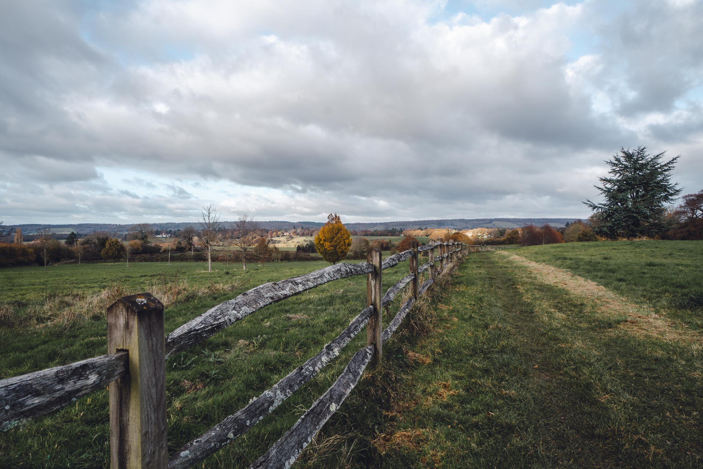
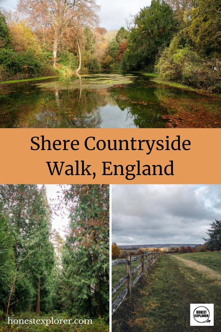
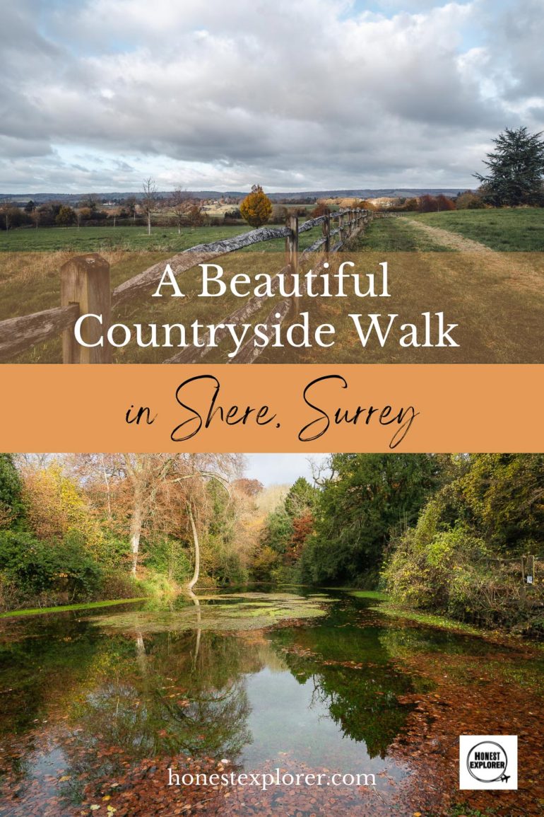
- A Beautiful Countryside Walk in Shere, Surrey
- Walking the Thames Path from Hammersmith to Chiswick House
- Beautiful Walks in England: Dorchester on Thames
- Things to do in Richmond, UK
")


")

")


")
")


")
")


")